| P number: | P205988 |
|---|---|
| Old photograph number: | A06059 |
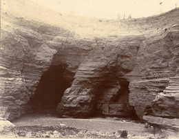
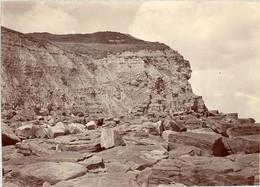
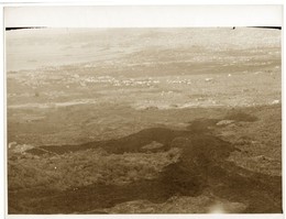
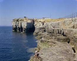
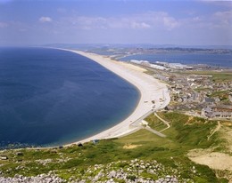
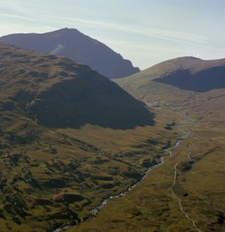
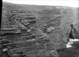
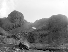
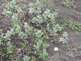
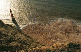
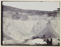
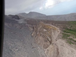
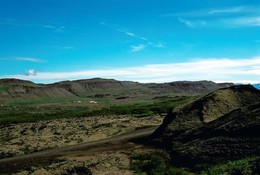
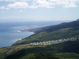
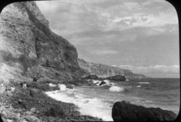
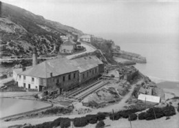
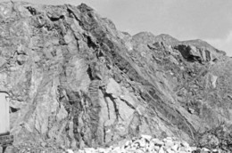
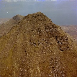
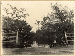
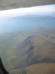
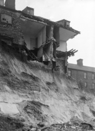
| Caption: | Viewpoint, above Gwni Beach, SW of Solva Harbour. |
| Description: | Viewpoint, above Gwni Beach, SW of Solva Harbour. Coast scenery in Cambrian rocks. Panorama. Solva Harbour, Gwadn, Aber West, and Dinas Fawr. The drowned valley of the Solva River is cut through Cambrian sediments, the junction of the Middle with the Upper Cambrian running across the valley in the extreme left foreground. The small beach, middle, marks the mouth of the Gribin Valley. The headland, right foreground, is Penrhyn, an intrusive sill of horneblende-porphyrite. It is separated from Dinas Fawr (Lower Cambrian sediments terminated by a doleritic sill) by the bay of Aber West. In the right distance, the Coal Measures of the east coast of St. Bride's Bay. |
| Date taken: | Sat Oct 01 00:00:00 BST 1932 |
| Photographer: | Rhodes, J. |
| Copyright statement: | Crown |
| X longitude/easting: | 179500 |
| Y latitude/northing: | 223500 |
| Coordinate reference system, ESPG code: | 27700 (OSGB 1936 / British National Grid) |
| Orientation: | Landscape |
| Size: | 135.04 KB; 1000 x 641 pixels; 85 x 54 mm (print at 300 DPI); 265 x 170 mm (screen at 96 DPI); |
| Average Rating: | Not yet rated |
| Categories: | Unsorted Images, Geoscience subjects/ Landforms, marine/ Coastal scenery, general views |
Loading...
Loading...
Reviews
There is currently no feedback