| P number: | P205970 |
|---|---|
| Old photograph number: | A06041 |
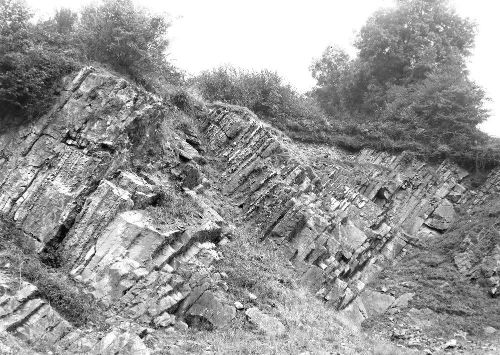
| Caption: | Whatley Bottom Quarry (disused), 1/4 m. N. of Whatley Church. Looking SW. |
| Description: | Whatley Bottom Quarry (disused), 1/4 m. N. of Whatley Church. Looking SW. Bedding planes in Carboniferous Limestone. Whatley Bottom. Highly inclined beds of Carboniferous Limestone (Zaphrentis Zone) showing bands of chert standing in relief on weathering surfaces. |
| Date taken: | Thu Sep 01 00:00:00 BST 1932 |
| Photographer: | Rhodes, J. |
| Copyright statement: | Crown |
| X longitude/easting: | 373500 |
| Y latitude/northing: | 147500 |
| Coordinate reference system, ESPG code: | 27700 (OSGB 1936 / British National Grid) |
| Orientation: | Landscape |
| Size: | 350.44 KB; 1001 x 711 pixels; 85 x 60 mm (print at 300 DPI); 265 x 188 mm (screen at 96 DPI); |
| Average Rating: | Not yet rated |
| Categories: | Unsorted Images, Geoscience subjects/ Structural features/ Dip and strike |
Reviews
There is currently no feedback

