| P number: | P205969 |
|---|---|
| Old photograph number: | A06040 |
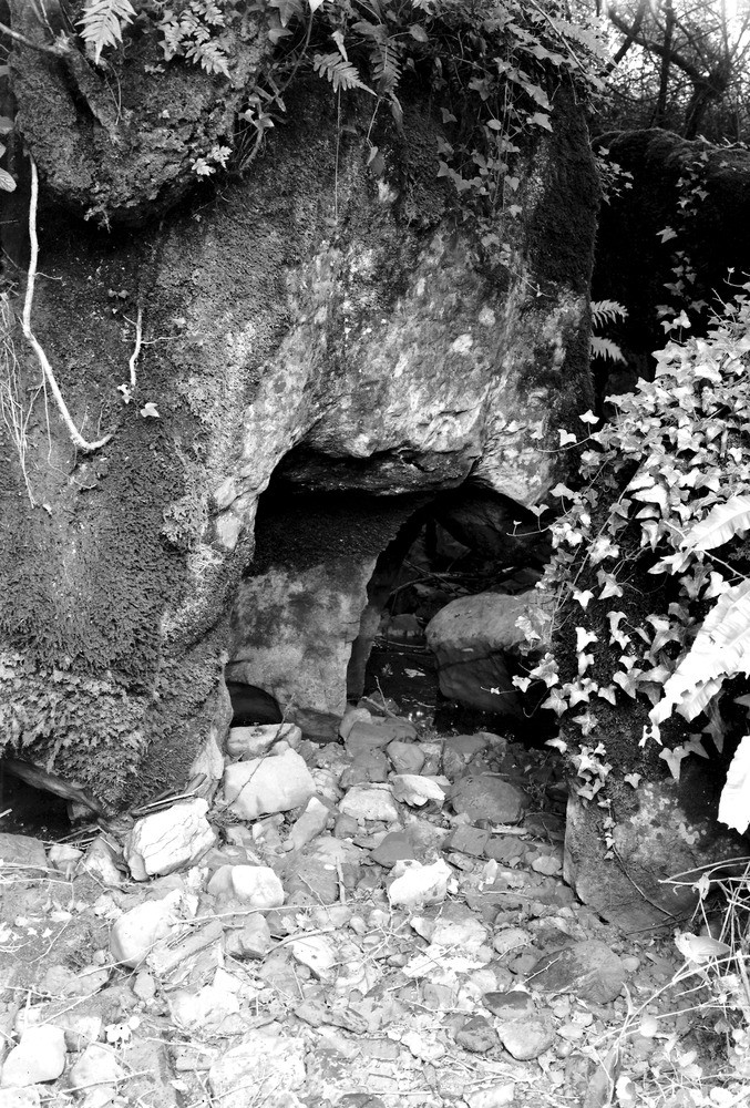
| Caption: | About 1/2 m. N. of Stoke Lane, 2 m. E. of Oakhill. |
| Description: | About 1/2 m. N. of Stoke Lane, 2 m. E. of Oakhill. Swallow-hole, Stoke Lane. 'Swallow-holes', 'slockers' and 'swallets' are Somerset names for tunnels or pipes through which streams disappear underground on reaching the areas of Carboniferous Limestone. Owing to diversion of the Stoke Lane stream, this example is dry except in floods. The waterworn sides of Carboniferous Limestone (Syringiothyris Zone) are noticeable. |
| Date taken: | Thu Sep 01 00:00:00 BST 1932 |
| Photographer: | Rhodes, J. |
| Copyright statement: | Crown |
| Orientation: | Portrait |
| Size: | 346.37 KB; 677 x 1000 pixels; 57 x 85 mm (print at 300 DPI); 179 x 265 mm (screen at 96 DPI); |
| Average Rating: | Not yet rated |
| Categories: | Unsorted Images, Geoscience subjects/ General views/ Limestone country, Geoscience subjects/ Landforms, karst/ Swallow hole |
Loading...
Loading...
Reviews
There is currently no feedback