| P number: | P1010903 |
|---|---|
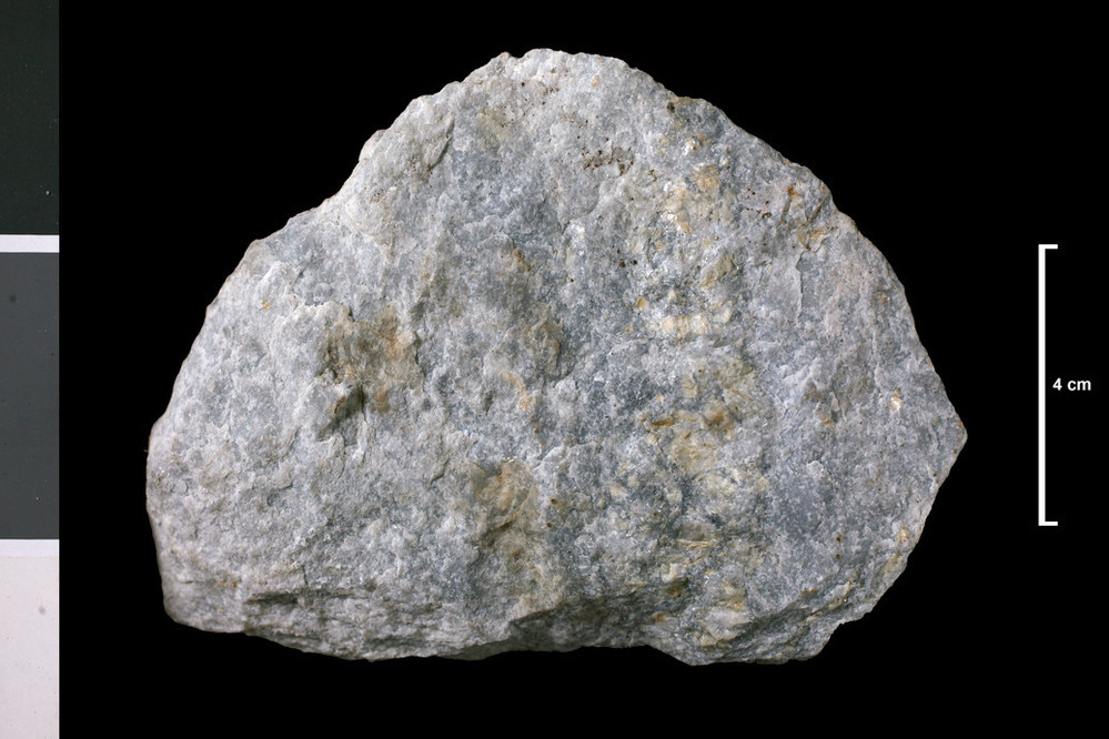
| Caption: | 0.375 mile SW of summit of Sgorr a' Choise, 2.75 miles SSW of Bridge of Coe. . |
| Description: | Collection No: SSC 10512. Sample No. V470. Collector: H S McVey |
| Copyright statement: | UKRI |
| X longitude/easting: | 208040 |
| Y latitude/northing: | 754800 |
| Coordinate reference system, ESPG code: | 27700 (OSGB 1936 / British National Grid) |
| Orientation: | Landscape |
| Size: | 166.24 KB; 999 x 666 pixels; 85 x 56 mm (print at 300 DPI); 264 x 176 mm (screen at 96 DPI); |
| Average Rating: | Not yet rated |
| Categories: | Geoscience subjects/ Rocks/ Scotland/ County/ Argyllshire, Geoscience subjects/ Rocks/ Scotland/ Geological one-inch sheet/ Sheet 53 Ben Nevis |
| Collection ID number: | Collection No: SSC 10512. |
Loading...
Loading...
Reviews
There is currently no feedback