| P number: | P1010585 |
|---|---|
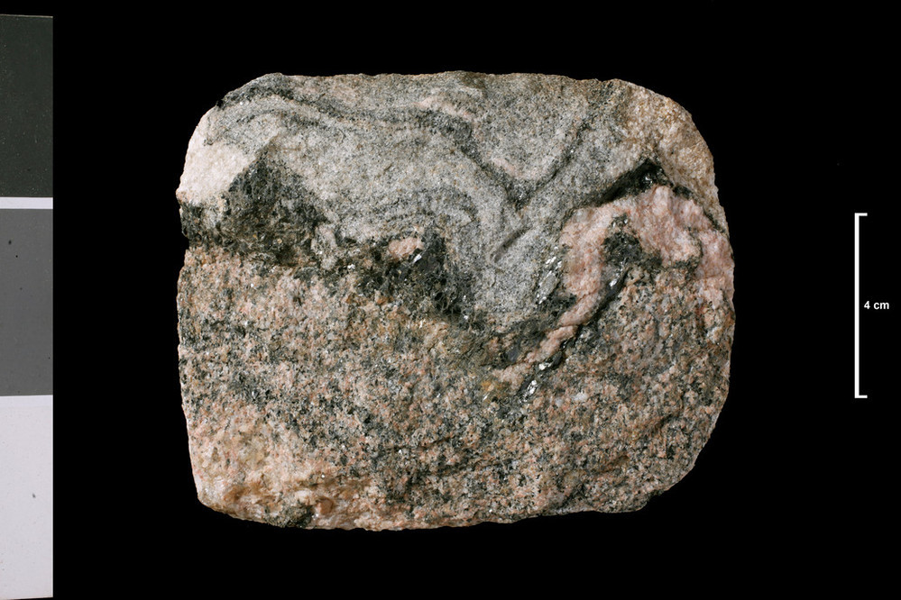
| Caption: | Burn crossing Dalnabreck, 850 yds W 20 deg N of road, Loch Shiel, Moidart. . |
| Description: | Collection No: SSC 10228. Sample No. T4084A. Collector: D Tait |
| Copyright statement: | UKRI |
| X longitude/easting: | 169870 |
| Y latitude/northing: | 769930 |
| Coordinate reference system, ESPG code: | 27700 (OSGB 1936 / British National Grid) |
| Orientation: | Landscape |
| Size: | 193.02 KB; 999 x 666 pixels; 85 x 56 mm (print at 300 DPI); 264 x 176 mm (screen at 96 DPI); |
| Average Rating: | Not yet rated |
| Categories: | Geoscience subjects/ Rocks/ Scotland/ Geological one-inch sheet/ Sheet 52 Tobermory, Geoscience subjects/ Rocks/ Scotland/ County/ Invernessshire, Mainland |
| Collection ID number: | Collection No: SSC 10228. |
Loading...
Loading...
Reviews
There is currently no feedback