| P number: | P1009840 |
|---|---|
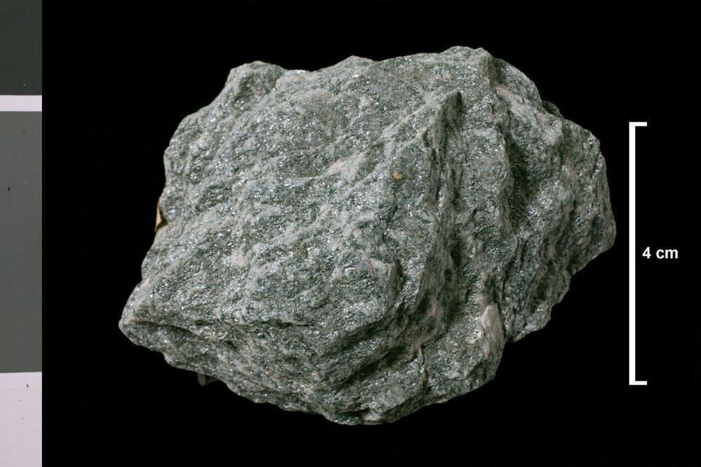
| Caption: | Hill slope 0.75 mile NW of Boreland 2 miles WNW of Loch Tay (loc. 83). . |
| Description: | Collection No: SSC 9442. Sample No. T1620. Collector: D Tait |
| Copyright statement: | UKRI |
| X longitude/easting: | 254500 |
| Y latitude/northing: | 735500 |
| Coordinate reference system, ESPG code: | 27700 (OSGB 1936 / British National Grid) |
| Orientation: | Landscape |
| Size: | 164.53 KB; 999 x 666 pixels; 85 x 56 mm (print at 300 DPI); 264 x 176 mm (screen at 96 DPI); |
| Average Rating: | Not yet rated |
| Categories: | Geoscience subjects/ Rocks/ Scotland/ County/ Perthshire, Geoscience subjects/ Rocks/ Scotland/ Geological one-inch sheet/ Sheet 46 Balquidder |
| Collection ID number: | Collection No: SSC 9442. |
Loading...
Loading...
Reviews
There is currently no feedback