| P number: | P1008335 |
|---|---|
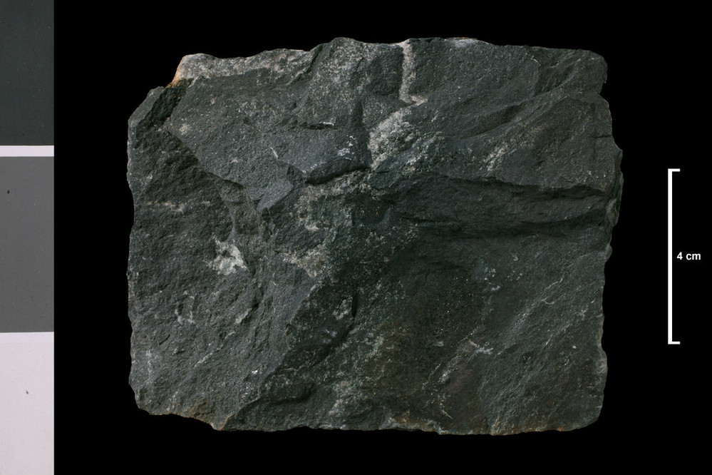
| Caption: | 0.31 mile N of summit of An Aird, and 2.75 miles SW of Tayvallich. Block in 'Bomb Bed' (see Memoir, p. 70). |
| Description: | Collection No: SSC 5549. Sample No. 1578A. Collector: D Tait |
| Copyright statement: | UKRI |
| X longitude/easting: | 170600 |
| Y latitude/northing: | 684200 |
| Coordinate reference system, ESPG code: | 27700 (OSGB 1936 / British National Grid) |
| Orientation: | Landscape |
| Size: | 155.01 KB; 999 x 666 pixels; 85 x 56 mm (print at 300 DPI); 264 x 176 mm (screen at 96 DPI); |
| Average Rating: | Not yet rated |
| Categories: | Geoscience subjects/ Rocks/ Scotland/ County/ Argyllshire, Geoscience subjects/ Rocks/ Scotland/ Geological one-inch sheet/ Sheet 28 Jura |
| Collection ID number: | Collection No: SSC 5549. |
Loading...
Loading...
Reviews
There is currently no feedback