| P number: | P1007678 |
|---|---|
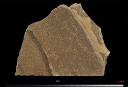
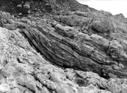
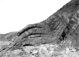
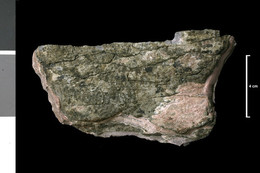
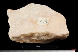
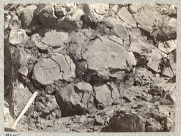
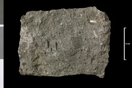
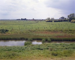
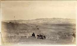
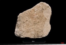
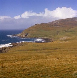
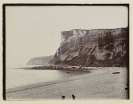
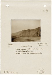
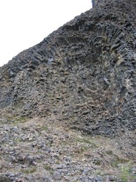
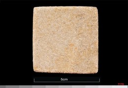
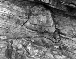
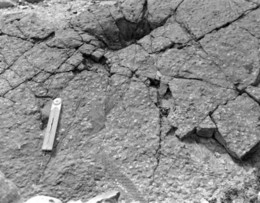
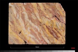
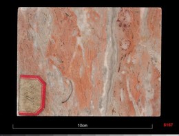
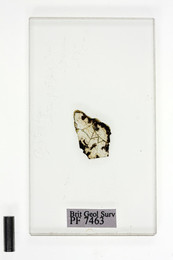
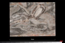
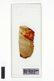
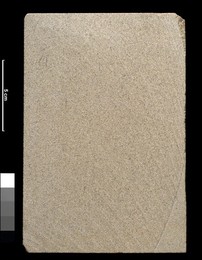
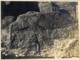
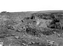
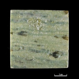
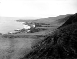
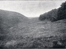
| Caption: | 0.5 mile E of Muirburn, which is nearly 2 miles NE of Skirling. Mapped greenstone. |
| Description: | Collection No: SSC 4897. Sample No. E4287. Collector: R Eckford |
| Copyright statement: | UKRI |
| X longitude/easting: | 310420 |
| Y latitude/northing: | 641320 |
| Coordinate reference system, ESPG code: | 27700 (OSGB 1936 / British National Grid) |
| Orientation: | Landscape |
| Size: | 103.46 KB; 999 x 600 pixels; 85 x 51 mm (print at 300 DPI); 264 x 159 mm (screen at 96 DPI); |
| Average Rating: | Not yet rated |
| Categories: | Geoscience subjects/ Rocks/ Scotland/ Geological one-inch sheet/ Sheet 24 Peebles, Geoscience subjects/ Rocks/ Scotland/ County/ Peeblesshire |
| Collection ID number: | Collection No: SSC 4897. |
Loading...
Loading...
Reviews
There is currently no feedback