| P number: | P1007667 |
|---|---|
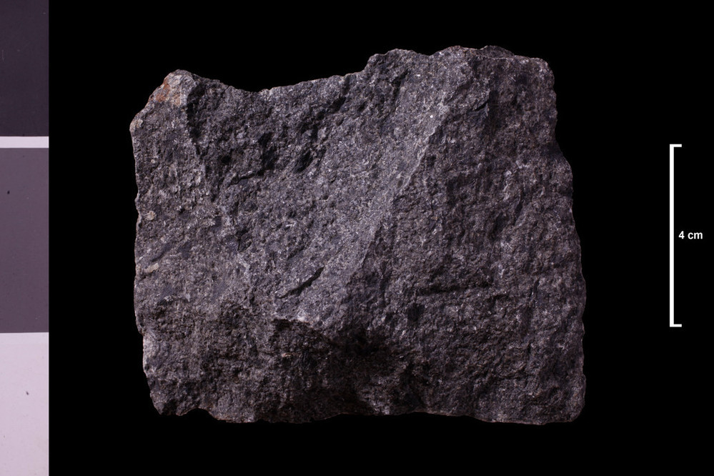
| Caption: | Tribtary of Nisbet Burn, 0.75 mile SSE of Nisbet Farm, which is 1.25 miles SE of Culter. Angluar block; ? In place. |
| Description: | Collection No: SSC 4886. Sample No. E4268. Collector: R Eckford |
| Copyright statement: | UKRI |
| X longitude/easting: | 304240 |
| Y latitude/northing: | 631760 |
| Coordinate reference system, ESPG code: | 27700 (OSGB 1936 / British National Grid) |
| Orientation: | Landscape |
| Size: | 163.77 KB; 999 x 666 pixels; 85 x 56 mm (print at 300 DPI); 264 x 176 mm (screen at 96 DPI); |
| Average Rating: | Not yet rated |
| Categories: | Geoscience subjects/ Rocks/ Scotland/ Geological one-inch sheet/ Sheet 24 Peebles, Geoscience subjects/ Rocks/ Scotland/ County/ Lanarkshire |
| Collection ID number: | Collection No: SSC 4886. |
Loading...
Loading...
Reviews
There is currently no feedback