| P number: | P1007330 |
|---|---|
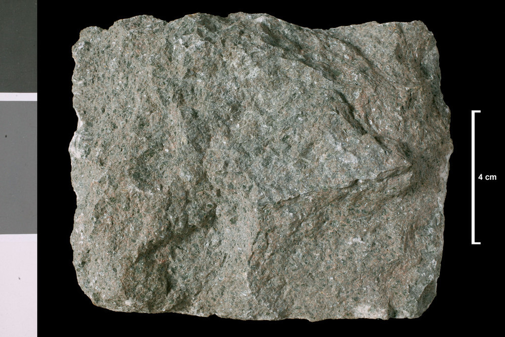
| Caption: | Lamprophyre. Dyke 14 - 16 inches wide. Quarry hole on hill slope between Craigie Burn and summit of Hunterheck Hill, 2 miles E of Moffat. |
| Description: | Collection No: SSC 3184. Sample No. T2604A. Collector: D Tait |
| Copyright statement: | UKRI |
| X longitude/easting: | 311520 |
| Y latitude/northing: | 605640 |
| Coordinate reference system, ESPG code: | 27700 (OSGB 1936 / British National Grid) |
| Orientation: | Landscape |
| Size: | 246.87 KB; 999 x 666 pixels; 85 x 56 mm (print at 300 DPI); 264 x 176 mm (screen at 96 DPI); |
| Average Rating: | Not yet rated |
| Categories: | Geoscience subjects/ Rocks/ Scotland/ County/ Dumfriesshire, Geoscience subjects/ Rocks/ Scotland/ Geological one-inch sheet/ Sheet 16 Moffat |
| Collection ID number: | Collection No: SSC 3184. |
Loading...
Loading...
Reviews
There is currently no feedback