| P number: | P1006872 |
|---|---|
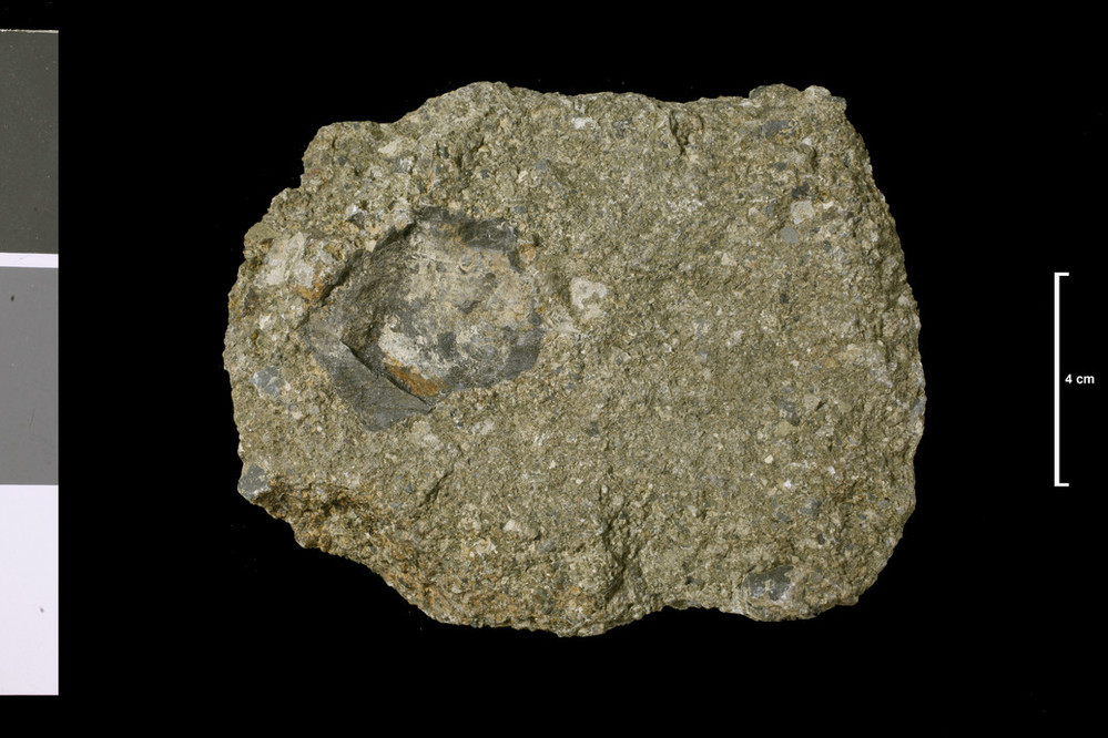
| Caption: | Agglomerate. Ash in vent; see unregistered limestone blocks. 1 mile W of Blackburn, junction streams; Blackburn is 1 mile N 20 deg W of Newcastleton Station. |
| Description: | Collection No: SSC 2236. Sample No. E999A. Collector: R Eckford |
| Copyright statement: | UKRI |
| X longitude/easting: | 345880 |
| Y latitude/northing: | 588930 |
| Coordinate reference system, ESPG code: | 27700 (OSGB 1936 / British National Grid) |
| Orientation: | Landscape |
| Size: | 163.35 KB; 999 x 666 pixels; 85 x 56 mm (print at 300 DPI); 264 x 176 mm (screen at 96 DPI); |
| Average Rating: | Not yet rated |
| Categories: | Geoscience subjects/ Rocks/ Scotland/ County/ Roxburghshire, Geoscience subjects/ Rocks/ Scotland/ Geological one-inch sheet/ Sheet 11 Langholm |
| Collection ID number: | Collection No: SSC 2236. |
Loading...
Loading...
Reviews
There is currently no feedback