| P number: | P1006720 |
|---|---|
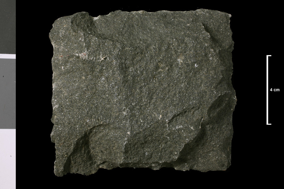
| Caption: | Olivine-basalt. Lava; Birrenswark, Lower Carboniferous. Tweedens Burn, 1350 yds E 10 deg S of Hillhouse, which is 1 mile m SE of Square, Newcastleton. |
| Description: | Collection No: SSC 2248. Sample No. E1022A. Collector: R Eckford |
| Copyright statement: | UKRI |
| X longitude/easting: | 351130 |
| Y latitude/northing: | 586300 |
| Coordinate reference system, ESPG code: | 27700 (OSGB 1936 / British National Grid) |
| Orientation: | Landscape |
| Size: | 175.75 KB; 999 x 666 pixels; 85 x 56 mm (print at 300 DPI); 264 x 176 mm (screen at 96 DPI); |
| Average Rating: | Not yet rated |
| Categories: | Geoscience subjects/ Rocks/ Scotland/ County/ Roxburghshire, Geoscience subjects/ Rocks/ Scotland/ Geological one-inch sheet/ Sheet 11 Langholm |
| Collection ID number: | Collection No: SSC 2248. |
Loading...
Loading...
Reviews
There is currently no feedback