| P number: | P205801 |
|---|---|
| Old photograph number: | A05871 |
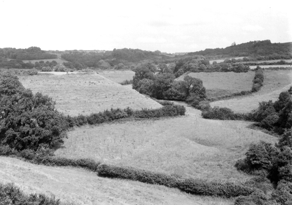
| Caption: | About 1/2 m. NE of Powerstock. Looking ENE. |
| Description: | About 1/2 m. NE of Powerstock. Looking ENE. Typical Inferior Oolite and Bridport Sands topography, Powerstock. Capping of Inferior Oolite forms flat top to steep sided Bridport Sands valleys. Wooded gentle slopes of Fuller's Earth clay in background. |
| Date taken: | Fri Jul 01 00:00:00 BST 1932 |
| Photographer: | Rhodes, J. |
| Copyright statement: | Crown |
| X longitude/easting: | 352500 |
| Y latitude/northing: | 96500 |
| Coordinate reference system, ESPG code: | 27700 (OSGB 1936 / British National Grid) |
| Orientation: | Landscape |
| Size: | 193.43 KB; 1000 x 703 pixels; 85 x 60 mm (print at 300 DPI); 265 x 186 mm (screen at 96 DPI); |
| Average Rating: | Not yet rated |
| Categories: | Unsorted Images, Geoscience subjects/ Landforms, marine/ Cliffs |
Loading...
Loading...
Reviews
There is currently no feedback