| P number: | P1004874 |
|---|---|
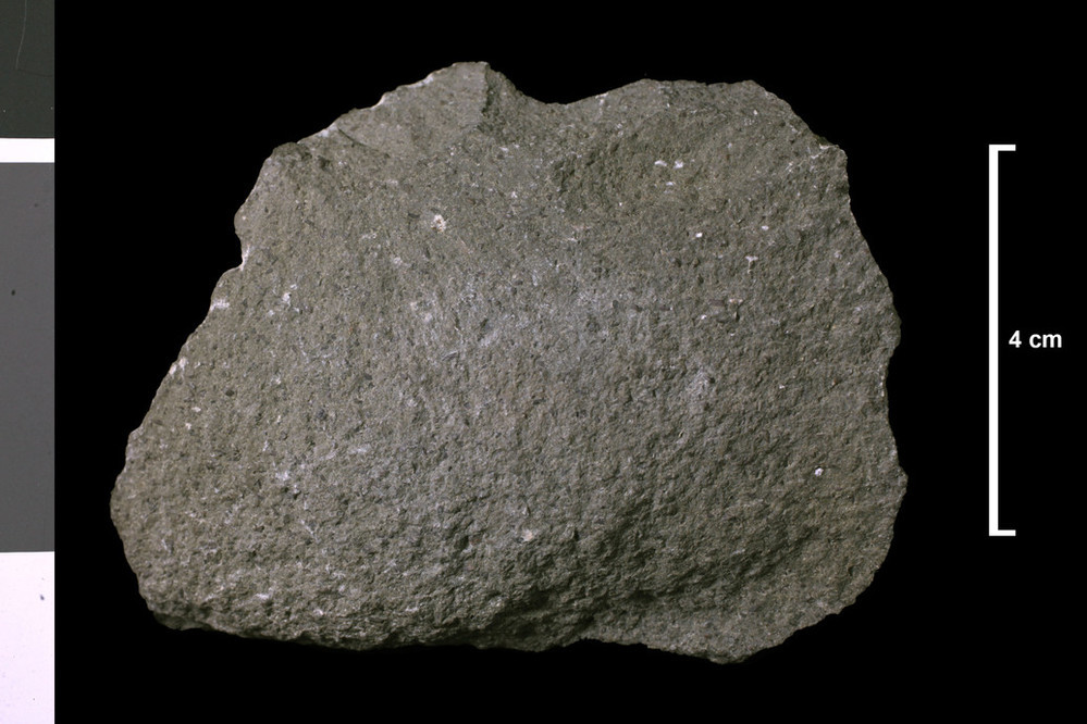
| Caption: | Lamprohyre?. Lamprophyre? dyke? 3 ft wide, next to each other, (E 755 and E 756,) ? If dykes. Position on field map uncertain. Near shore 670 yards ESE of Dinnan's Farm, which is 2.75 miles N of Isle of Whithorn. |
| Description: | Collection No: SSC 231. Sample No. E756. Collector: R.Eckford |
| Copyright statement: | UKRI |
| X longitude/easting: | 247890 |
| Y latitude/northing: | 540770 |
| Coordinate reference system, ESPG code: | 27700 (OSGB 1936 / British National Grid) |
| Orientation: | Landscape |
| Size: | 161.21 KB; 999 x 666 pixels; 85 x 56 mm (print at 300 DPI); 264 x 176 mm (screen at 96 DPI); |
| Average Rating: | Not yet rated |
| Categories: | Geoscience subjects/ Rocks/ Scotland/ County/ Wigtownshire, Geoscience subjects/ Rocks/ Scotland/ Geological one-inch sheet/ Sheet 2 Whithorn |
| Collection ID number: | Collection No: SSC 231. |
Loading...
Loading...
Reviews
There is currently no feedback