| P number: | P1004867 |
|---|---|
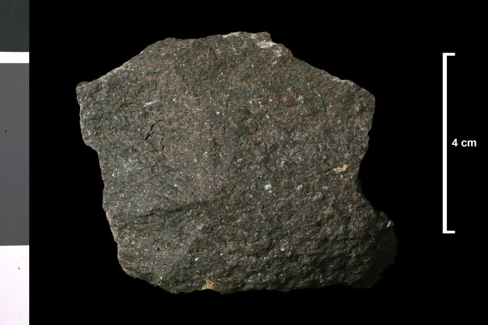
| Caption: | Lamprophyre. Lamprophyre, loose block, mapped as dyke. Near shore, 230 yards NE of Portyerrock Mill, which is 1.5 miles N of Isle of Whithorn. |
| Description: | Collection No: SSC 224. Sample No. E745. Collector: R.Eckford |
| Copyright statement: | UKRI |
| X longitude/easting: | 247770 |
| Y latitude/northing: | 539100 |
| Coordinate reference system, ESPG code: | 27700 (OSGB 1936 / British National Grid) |
| Orientation: | Landscape |
| Size: | 157.73 KB; 999 x 666 pixels; 85 x 56 mm (print at 300 DPI); 264 x 176 mm (screen at 96 DPI); |
| Average Rating: | Not yet rated |
| Categories: | Geoscience subjects/ Rocks/ Scotland/ County/ Wigtownshire, Geoscience subjects/ Rocks/ Scotland/ Geological one-inch sheet/ Sheet 2 Whithorn |
| Collection ID number: | Collection No: SSC 224. |
Loading...
Loading...
Reviews
There is currently no feedback