| P number: | P1004658 |
|---|---|
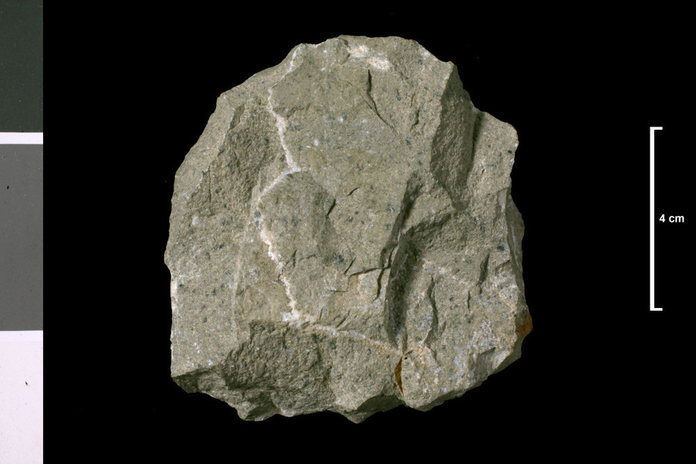
| Caption: | Porphyrite?. Vein 1 ft wide, 4 ft dyke in cliffs above it, inaccesible but it is on the map. 200 yards SE of Port Mona, 1260 yards S 15 deg W of Auchneight Farm which is 2.33 miles SSW of Drummore. |
| Description: | Collection No: SSC 54. Sample No. E387. Collector: R.Eckford |
| Copyright statement: | UKRI |
| X longitude/easting: | 210690 |
| Y latitude/northing: | 532390 |
| Coordinate reference system, ESPG code: | 27700 (OSGB 1936 / British National Grid) |
| Orientation: | Landscape |
| Size: | 127.02 KB; 999 x 666 pixels; 85 x 56 mm (print at 300 DPI); 264 x 176 mm (screen at 96 DPI); |
| Average Rating: | Not yet rated |
| Categories: | Geoscience subjects/ Rocks/ Scotland/ County/ Wigtownshire, Geoscience subjects/ Rocks/ Scotland/ Geological one-inch sheet/ Sheet 1 Kirkmaiden |
| Collection ID number: | Collection No: SSC 54. |
Loading...
Loading...
Reviews
There is currently no feedback