| P number: | P1004607 |
|---|---|
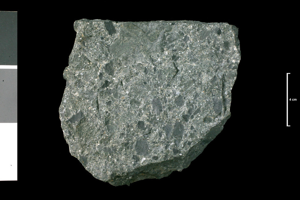
| Caption: | Shaly Conglomerate. Shaly Conglomerate. In face, 630 yards. S. of Port Gill which is 1.75 miles NW of Port Logan. |
| Description: | Collection No: SSC 3. Sample No. E186. Collector: R.Eckford |
| Copyright statement: | UKRI |
| X longitude/easting: | 207600 |
| Y latitude/northing: | 542480 |
| Coordinate reference system, ESPG code: | 27700 (OSGB 1936 / British National Grid) |
| Orientation: | Landscape |
| Size: | 166.24 KB; 999 x 666 pixels; 85 x 56 mm (print at 300 DPI); 264 x 176 mm (screen at 96 DPI); |
| Average Rating: | Not yet rated |
| Categories: | Geoscience subjects/ Rocks/ Scotland/ County/ Wigtownshire, Geoscience subjects/ Rocks/ Scotland/ Geological one-inch sheet/ Sheet 1 Kirkmaiden |
| Collection ID number: | Collection No: SSC 3. |
Loading...
Loading...
Reviews
There is currently no feedback