| P number: | P006761 |
|---|---|
| Old photograph number: | A10744 |
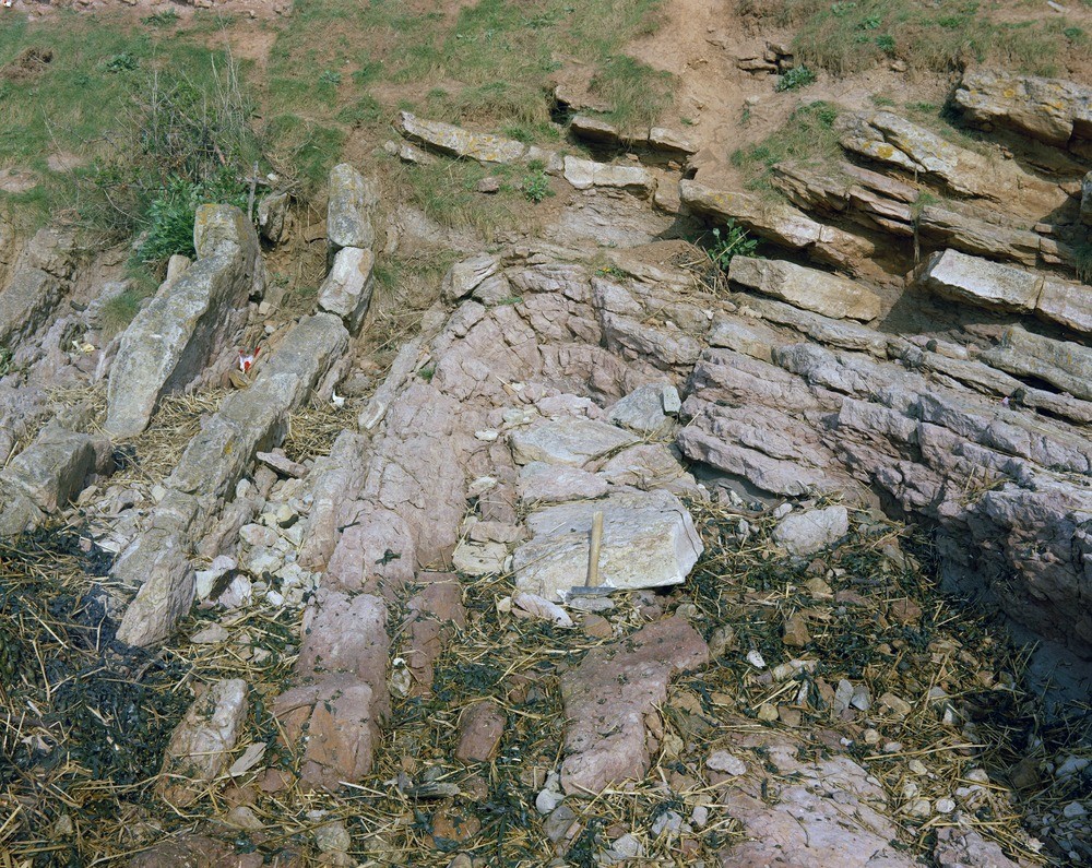
| Caption: | Woodhill Bay, Portishead. Looking E. |
| Description: | Woodhill Bay, Portishead. Looking E. Lower Limestone Shale, Portishead. Folded Lower Limestone Shale (Carboniferous Limestone Series) overlain by head. The lower Limestone Shale (K Zone) consists of thinly-bedded limestone and shale and some dolomite. The Pleistocene deposits are composed mainly of angular limestone fragments in a brown loamy matrix. |
| Date taken: | Fri Jan 01 00:00:00 GMT 1965 |
| Photographer: | Friend, C.A.F. |
| Copyright statement: | NERC |
| Acknowledgment: | This image was digitized with grant-in-aid from JIDI the JISC Image Digitization Initiative |
| X longitude/easting: | 346500 |
| Y latitude/northing: | 177500 |
| Coordinate reference system, ESPG code: | 27700 (OSGB 1936 / British National Grid) |
| Orientation: | Landscape |
| Size: | 445.12 KB; 1000 x 795 pixels; 85 x 67 mm (print at 300 DPI); 265 x 210 mm (screen at 96 DPI); |
| Average Rating: | Not yet rated |
| Categories: | Unsorted Images |
Loading...
Loading...
Reviews
There is currently no feedback