| P number: | P006748 |
|---|---|
| Old photograph number: | A10731 |
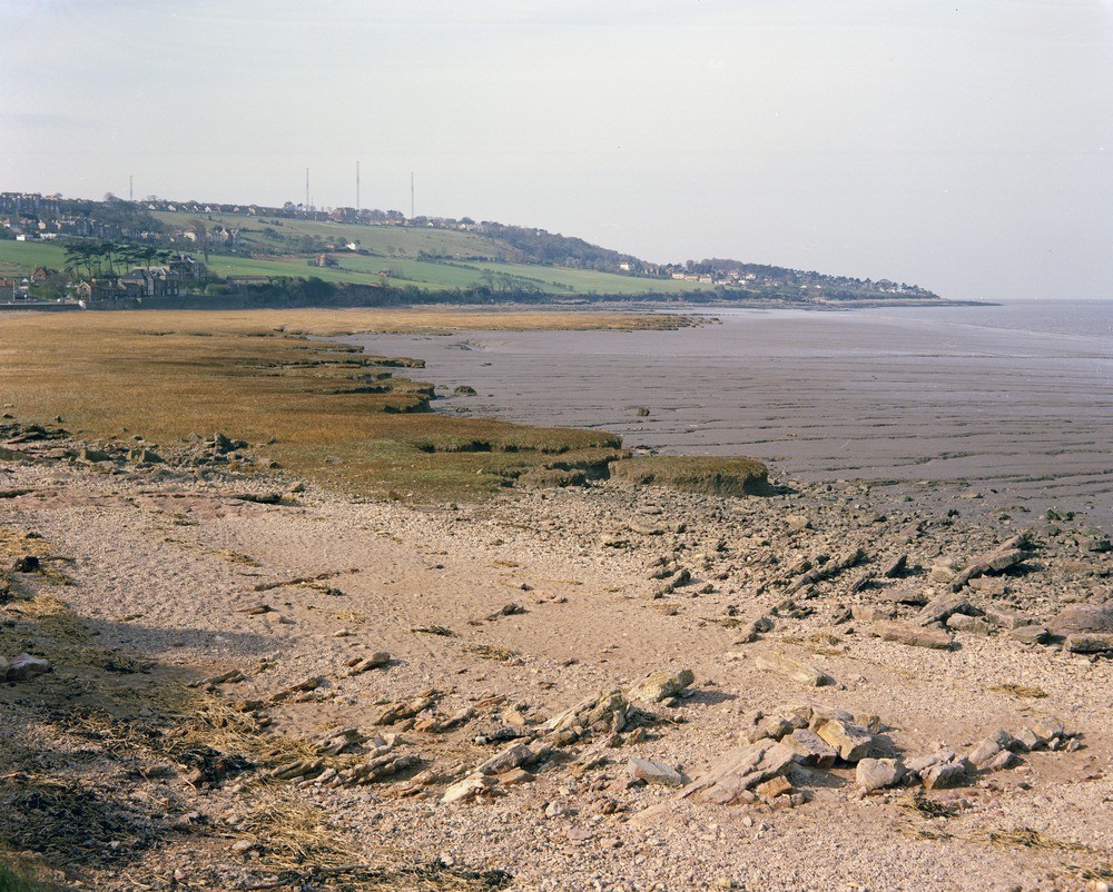
| Caption: | Kilkenny Bay (Woodhill Bay) and Black Nore Point, Portishead. Looking SW. |
| Description: | Kilkenny Bay (Woodhill Bay) and Black Nore Point, Portishead. Looking SW. Coastal scenery at Portishead. The high ground forming the skyline is Portishead Down. This is composed of Old Red Sandstone. The point at Black Nore is composed of Black Nore Sandstone (Lower Old Red Sandstone). In the foreground the Lower Limestone Shales are partly obscured by beach deposits. The centre of the picture shows salt marsh deposit and mudfields. |
| Date taken: | Fri Jan 01 00:00:00 GMT 1965 |
| Photographer: | Friend, C.A.F. |
| Copyright statement: | NERC |
| Acknowledgment: | This image was digitized with grant-in-aid from JIDI the JISC Image Digitization Initiative |
| X longitude/easting: | 346500 |
| Y latitude/northing: | 177500 |
| Coordinate reference system, ESPG code: | 27700 (OSGB 1936 / British National Grid) |
| Orientation: | Landscape |
| Size: | 343.27 KB; 1000 x 802 pixels; 85 x 68 mm (print at 300 DPI); 265 x 212 mm (screen at 96 DPI); |
| Average Rating: | Not yet rated |
| Categories: | Unsorted Images |
Loading...
Loading...
Reviews
There is currently no feedback