| P number: | P205333 |
|---|---|
| Old photograph number: | A05399 |
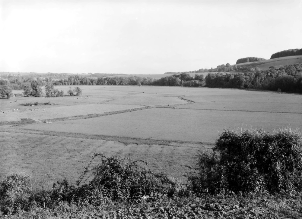
| Caption: | Amberley Hill. Looking SE. |
| Description: | Amberley Hill. Looking SE. Alluvial flat of River Arun. The River Arun has eroded a wide valley at the entrance of the Arun Gap through the Chalk, and the valley-floor has been covered with an alluvium consisting mainly of Wealden and Lower Greensand material. |
| Date taken: | Fri May 01 00:00:00 BST 1931 |
| Photographer: | Rhodes, J. |
| Copyright statement: | Crown |
| X longitude/easting: | 503500 |
| Y latitude/northing: | 112500 |
| Coordinate reference system, ESPG code: | 27700 (OSGB 1936 / British National Grid) |
| Orientation: | Landscape |
| Size: | 189.35 KB; 1001 x 727 pixels; 85 x 62 mm (print at 300 DPI); 265 x 192 mm (screen at 96 DPI); |
| Average Rating: | Not yet rated |
| Categories: | Unsorted Images, Geoscience subjects/ Landforms, river/ Flood-plains and alluvial flats, Geoscience subjects/ General views/ Clay, marl and shale country |
Loading...
Loading...
Reviews
There is currently no feedback