| P number: | P205332 |
|---|---|
| Old photograph number: | A05398 |
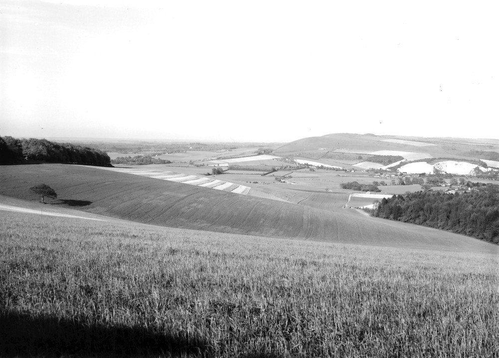
| Caption: | Viewpoint, top of Bury Hill. Looking NE. |
| Description: | Viewpoint, top of Bury Hill. Looking NE. The Arun Gap in the South Down. The Wealden rivers in general flow from the central axis either to the north or to the south, and have eroded valleys across the dip of the strata in the Chalk Downs. |
| Date taken: | Fri May 01 00:00:00 BST 1931 |
| Photographer: | Rhodes, J. |
| Copyright statement: | Crown |
| X longitude/easting: | 500500 |
| Y latitude/northing: | 112500 |
| Coordinate reference system, ESPG code: | 27700 (OSGB 1936 / British National Grid) |
| Orientation: | Landscape |
| Size: | 193.05 KB; 1000 x 718 pixels; 85 x 61 mm (print at 300 DPI); 265 x 190 mm (screen at 96 DPI); |
| Average Rating: | Not yet rated |
| Categories: | Unsorted Images, Geoscience subjects/ General views/ Chalk country, Geoscience subjects/ Landforms, river/ River gaps |
Loading...
Loading...
Reviews
There is currently no feedback