| P number: | P006619 |
|---|---|
| Old photograph number: | A11688 |
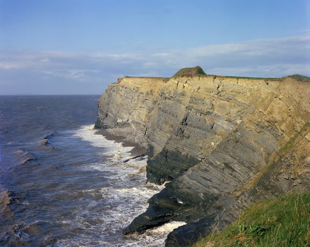
| Caption: | Kilve. Looking NE. |
| Description: | Kilve. Looking NE. Faulted Lower Lias. Shales and limestones of the Coroniceras rotiforme Subzone, Arietites bucklandi Zone, are seen and display rather low-angle normal faults. |
| Date taken: | Sat Jan 01 00:00:00 GMT 1972 |
| Photographer: | Jeffery, C.J. |
| Copyright statement: | NERC |
| Acknowledgment: | This image was digitized with grant-in-aid from JIDI the JISC Image Digitization Initiative |
| X longitude/easting: | 314500 |
| Y latitude/northing: | 143500 |
| Coordinate reference system, ESPG code: | 27700 (OSGB 1936 / British National Grid) |
| Orientation: | Landscape |
| Size: | 278.50 KB; 1001 x 798 pixels; 85 x 68 mm (print at 300 DPI); 265 x 211 mm (screen at 96 DPI); |
| Average Rating: | Not yet rated |
| Categories: | Best of BGS Images/ Landscapes |
Loading...
Loading...
Reviews
There is currently no feedback