| P number: | P006563 |
|---|---|
| Old photograph number: | A11323 |
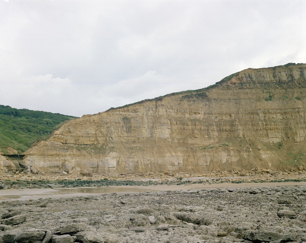
| Caption: | Ecclesbourne Glen, 150 m. S. of waterfall. Looking N. 10 degrees E. |
| Description: | Ecclesbourne Glen, 150 m. S. of waterfall. Looking N. 10 degrees E. Cliffs north-east of Ecclesbourne Glen. Basal Wadhurst Clay strata (including 'Cliff End Sandstone') at top right of cliff, overlie upper Ashdown Beds sandstone, silts and clay. The junction is at the break of slope (see also photo A11326). The top Ashdown Beds are interbedded siltstones and sandstones with 'foresets' apparently inclined to the south-west, a contrast with the more massive sandstones developed at this horizon at Hastings Castle and East Hill. The jointed nature of the strata is portrayed well. |
| Date taken: | Fri Jan 01 00:00:00 GMT 1971 |
| Photographer: | Jeffery, C.J. |
| Copyright statement: | NERC |
| Acknowledgment: | This image was digitized with grant-in-aid from JIDI the JISC Image Digitization Initiative |
| X longitude/easting: | 583730 |
| Y latitude/northing: | 109790 |
| Coordinate reference system, ESPG code: | 27700 (OSGB 1936 / British National Grid) |
| Orientation: | Landscape |
| Size: | 258.28 KB; 1000 x 794 pixels; 85 x 67 mm (print at 300 DPI); 265 x 210 mm (screen at 96 DPI); |
| Average Rating: | Not yet rated |
| Categories: | Unsorted Images |
Reviews
There is currently no feedback

