| P number: | P006527 |
|---|---|
| Old photograph number: | A11270 |
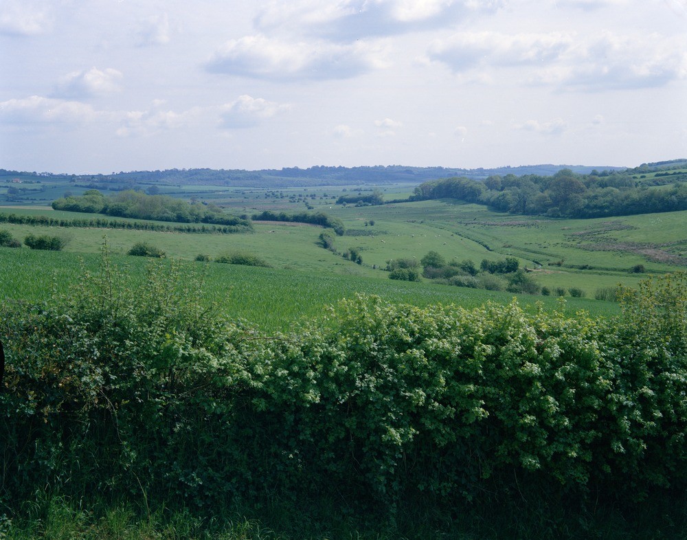
| Caption: | Doleham Ditch, near Westfield. Looking NE. |
| Description: | Doleham Ditch, near Westfield. Looking NE. Flood plain of Doleham Ditch. The Doleham Ditch, a south bank tributary of the Brede River, has developed a flood plain of up to 150 metres wide. Here it is viewed north-eastward from Doleham Hill towards the confluence. The gentle valley slopes are developed on Wadhurst Clay. |
| Date taken: | Sun Jan 01 00:00:00 GMT 1967 |
| Photographer: | Jeffery, C.J. |
| Copyright statement: | NERC |
| Acknowledgment: | This image was digitized with grant-in-aid from JIDI the JISC Image Digitization Initiative |
| X longitude/easting: | 583200 |
| Y latitude/northing: | 116600 |
| Coordinate reference system, ESPG code: | 27700 (OSGB 1936 / British National Grid) |
| Orientation: | Landscape |
| Size: | 240.60 KB; 1000 x 786 pixels; 85 x 67 mm (print at 300 DPI); 265 x 208 mm (screen at 96 DPI); |
| Average Rating: | Not yet rated |
| Categories: | Unsorted Images, Geoscience subjects/ Landforms, river/ Flood-plains and alluvial flats |
Loading...
Loading...
Reviews
There is currently no feedback