| P number: | P204606 |
|---|---|
| Old photograph number: | A04658 |
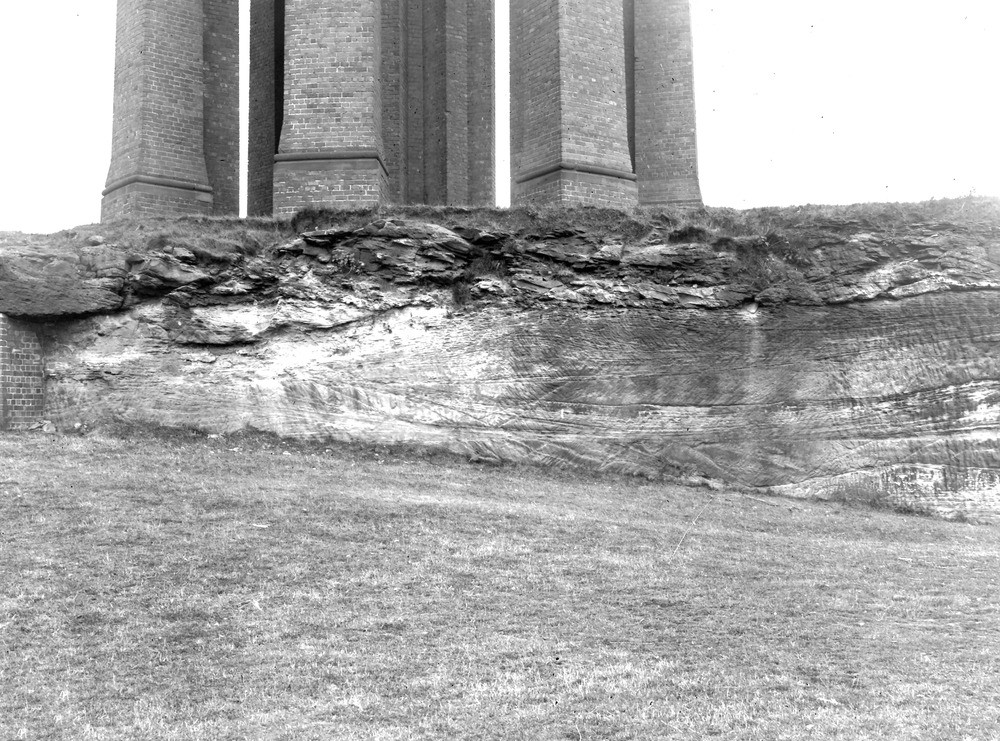
| Caption: | Scarth Hill Sand-pits (disused), 1 1/2 m. SE of Ormskirk. Looking SW. |
| Description: | Scarth Hill Sand-pits (disused), 1 1/2 m. SE of Ormskirk. Looking SW. Lower Keuper Sandstone on Bunter Sandstone. |
| Date taken: | Mon Jul 01 00:00:00 BST 1929 |
| Photographer: | Rhodes, J. |
| Copyright statement: | Crown |
| X longitude/easting: | 342500 |
| Y latitude/northing: | 406500 |
| Coordinate reference system, ESPG code: | 27700 (OSGB 1936 / British National Grid) |
| Orientation: | Landscape |
| Size: | 312.83 KB; 1000 x 741 pixels; 85 x 63 mm (print at 300 DPI); 265 x 196 mm (screen at 96 DPI); |
| Average Rating: | Not yet rated |
| Categories: | Unsorted Images |
Loading...
Loading...
Reviews
There is currently no feedback