| P number: | P204598 |
|---|---|
| Old photograph number: | A04650 |
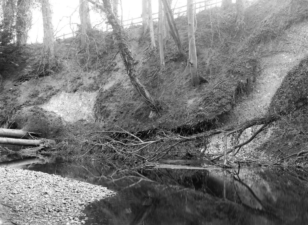
| Caption: | Mickleham, Cowslip Bank, 1/2 m. SW of village. |
| Description: | Mickleham, Cowslip Bank, 1/2 m. SW of village. River cliff in Middle Chalk, cut by River Mole. The river is here rapidly undercutting its bank. This cliff is shown on the 6 inch map as Cowslip Bank. |
| Date taken: | Wed May 01 00:00:00 BST 1929 |
| Photographer: | Rhodes, J. |
| Copyright statement: | Crown |
| X longitude/easting: | 516500 |
| Y latitude/northing: | 153500 |
| Coordinate reference system, ESPG code: | 27700 (OSGB 1936 / British National Grid) |
| Orientation: | Landscape |
| Size: | 336.24 KB; 1001 x 731 pixels; 85 x 62 mm (print at 300 DPI); 265 x 193 mm (screen at 96 DPI); |
| Average Rating: | Not yet rated |
| Categories: | Unsorted Images, Geoscience subjects/ Landforms, river/ River terraces and cliffs |
Loading...
Loading...
Reviews
There is currently no feedback