| P number: | P006297 |
|---|---|
| Old photograph number: | L01202 |
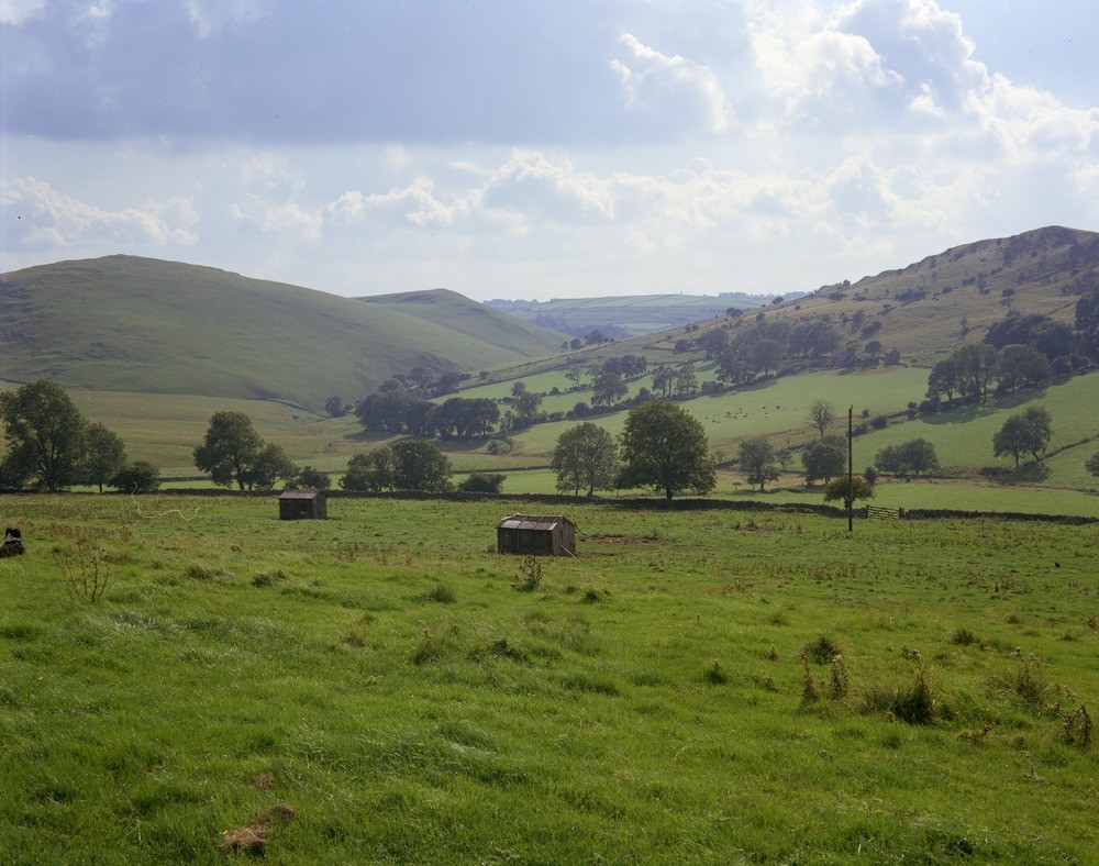
| Caption: | Paddock House Farm near Wetton Hill. Looking SW. |
| Description: | Paddock House Farm near Wetton Hill. Looking SW. Scenery where Namurian shales and uppermost Visean shales and dark limestones overlap against Visean (C2S1 Zone) knoll-reef limestones forming the hills in the background. The hill on the left is the western summit of Wetton Hill. |
| Date taken: | Sun Jul 01 00:00:00 BST 1973 |
| Photographer: | Thornton, K.E. |
| Copyright statement: | NERC |
| Acknowledgment: | This image was digitized with grant-in-aid from JIDI the JISC Image Digitization Initiative |
| X longitude/easting: | 410800 |
| Y latitude/northing: | 357500 |
| Coordinate reference system, ESPG code: | 27700 (OSGB 1936 / British National Grid) |
| Orientation: | Landscape |
| Size: | 243.77 KB; 1000 x 788 pixels; 85 x 67 mm (print at 300 DPI); 265 x 208 mm (screen at 96 DPI); |
| Average Rating: | Not yet rated |
| Categories: | Unsorted Images |
Loading...
Loading...
Reviews
There is currently no feedback