| P number: | P204582 |
|---|---|
| Old photograph number: | A04634 |
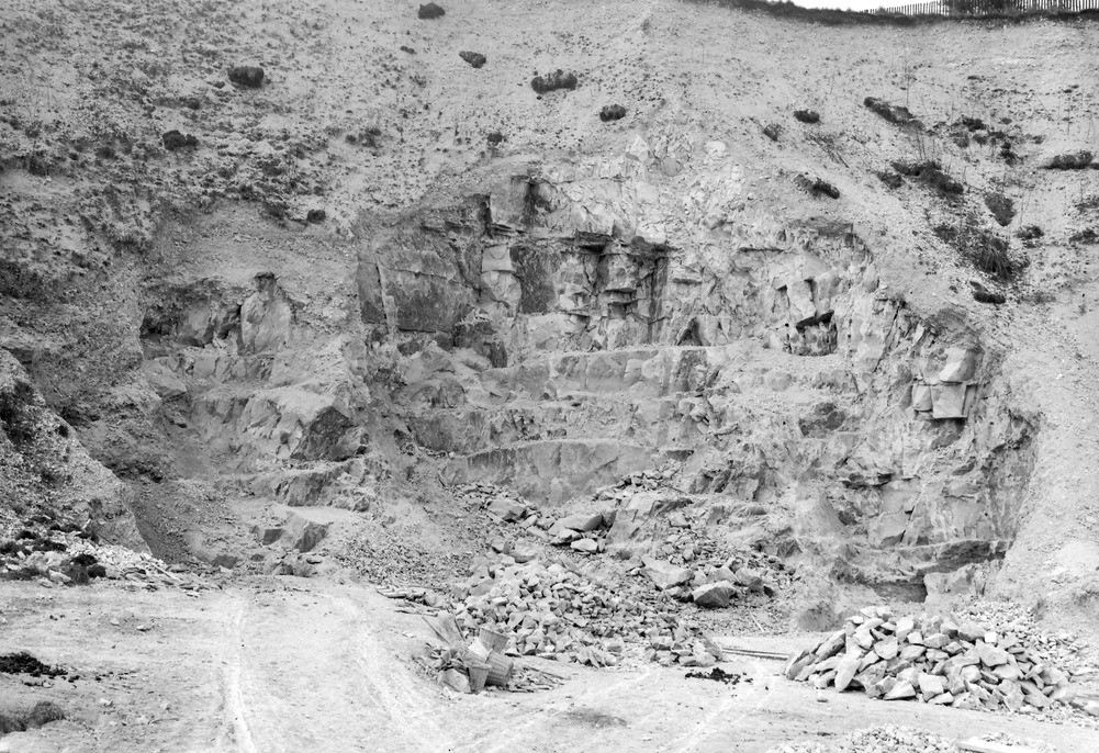
| Caption: | Dorking, 1/2 m. E. of Denbies. Looking W. |
| Description: | Dorking, 1/2 m. E. of Denbies. Looking W. Lower Chalk. Massive grey chalk, used for making Dorking lime. |
| Date taken: | Wed May 01 00:00:00 BST 1929 |
| Photographer: | Rhodes, J. |
| Copyright statement: | Crown |
| X longitude/easting: | 515500 |
| Y latitude/northing: | 150500 |
| Coordinate reference system, ESPG code: | 27700 (OSGB 1936 / British National Grid) |
| Orientation: | Landscape |
| Size: | 331.75 KB; 1001 x 686 pixels; 85 x 58 mm (print at 300 DPI); 265 x 182 mm (screen at 96 DPI); |
| Average Rating: | Not yet rated |
| Categories: | Unsorted Images, Geoscience subjects/ Economic geology/ Cement and lime, limestone quarries and chalk pits |
Loading...
Loading...
Reviews
There is currently no feedback