| P number: | P944017 |
|---|---|
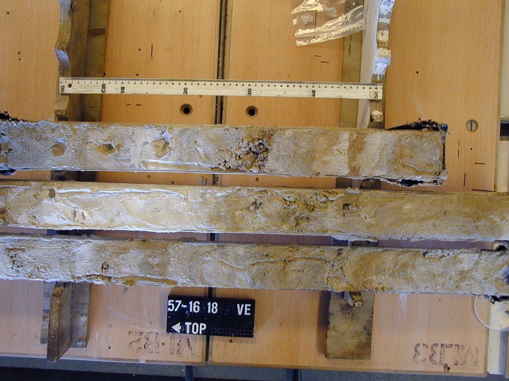
| Old photograph number: | 57_16_18 VE.jpg |
| Caption: | Core +57-016/18/VE/1 Overview, 3.19m terminal depth. Foram sands, muds + chalks. BGS marine survey 2001/2 (JR64). |
| Date taken: | Wed May 08 00:00:00 BST 2002 |
| Photographer: | Unknown |
| Copyright statement: | NERC |
| X longitude/easting: | -15.30333 |
| Y latitude/northing: | 57.0925 |
| Coordinate reference system, ESPG code: | 4326 (WGS 84) |
| Orientation: | Landscape |
| Size: | 220.24 KB; 1000 x 750 pixels; 85 x 64 mm (print at 300 DPI); 265 x 198 mm (screen at 96 DPI); |
| Average Rating: | Not yet rated |
| Categories: | Geoscience subjects/ Marine, Survey |
Loading...
Loading...
Reviews
There is currently no feedback