| P number: | P204080 |
|---|---|
| Old photograph number: | A04132 |
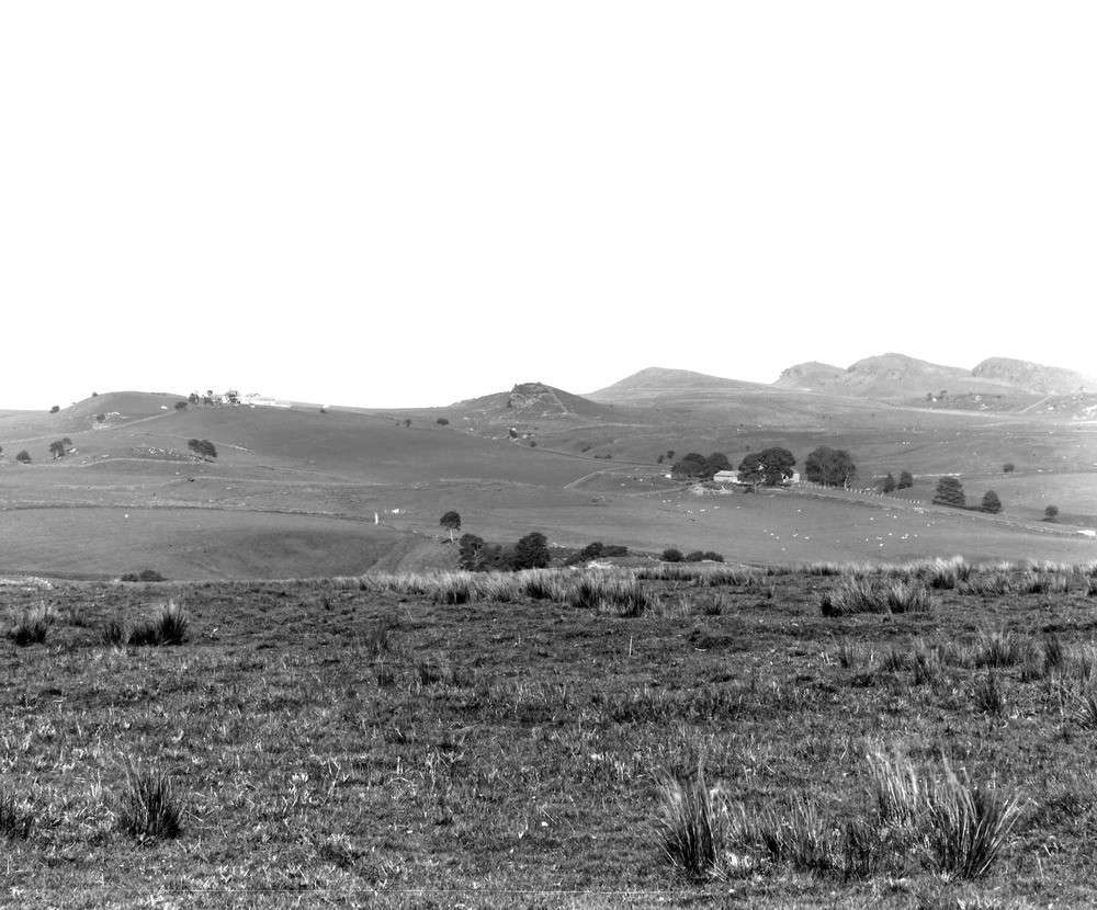
| Caption: | From a point about 3/4 m. N. of Greenhead Station. Looking E. |
| Description: | From a point about 3/4 m. N. of Greenhead Station. Looking E. Escarpments of the Whin Sill and sandstones north of the Roman Wall and east of the River Tipalt. The three crags on the right are Whin Sill, here faulted so as to appear as three distinct beds. The other crags are formed by underlying sandstones in the Middle Limestone Group, Carboniferous Limestone Series. |
| Date taken: | Wed Jun 01 00:00:00 BST 1927 |
| Photographer: | Rhodes, J. |
| Copyright statement: | Crown |
| X longitude/easting: | 365795 |
| Y latitude/northing: | 567007 |
| Coordinate reference system, ESPG code: | 27700 (OSGB 1936 / British National Grid) |
| Orientation: | Landscape |
| Size: | 223.24 KB; 1000 x 830 pixels; 85 x 70 mm (print at 300 DPI); 265 x 220 mm (screen at 96 DPI); |
| Average Rating: | Not yet rated |
| Categories: | Unsorted Images, Geoscience subjects/ Igneous features/ Sills, Geoscience subjects/ Structural features/ Fault scarps, Geoscience subjects/ Landforms, river/ Escarpments |
Loading...
Loading...
Reviews
There is currently no feedback