| P number: | P204069 |
|---|---|
| Old photograph number: | A04121 |
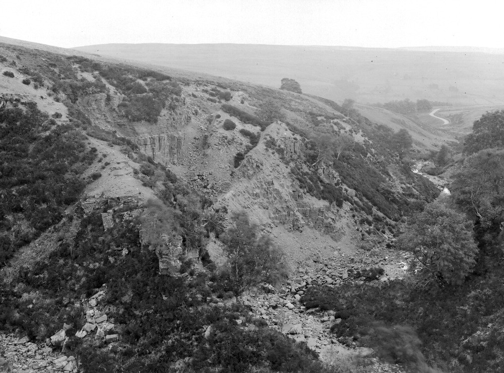
| Caption: | Glendue Burn (N. bank) 600 yd. above Alston Road, about 1 1/4 m. SSW of Lambley Station. Looking E. |
| Description: | Glendue Burn (N. bank) 600 yd. above Alston Road, about 1 1/4 m. SSW of Lambley Station. Looking E. Landslip in cliff (Carboniferous Limestone Series). A landslip from a river cliff stands out as an isolated mass of sandstone and shale. The beds are in the Upper Limestone Group below the horizon of the Middle Oakwood Limestone. |
| Date taken: | Wed Jun 01 00:00:00 BST 1927 |
| Photographer: | Rhodes, J. |
| Copyright statement: | Crown |
| X longitude/easting: | 366552 |
| Y latitude/northing: | 556523 |
| Coordinate reference system, ESPG code: | 27700 (OSGB 1936 / British National Grid) |
| Orientation: | Landscape |
| Size: | 270.36 KB; 1000 x 740 pixels; 85 x 63 mm (print at 300 DPI); 265 x 196 mm (screen at 96 DPI); |
| Average Rating: | Not yet rated |
| Categories: | Unsorted Images, Geoscience subjects/ Landforms, weathering/ Landslips |
Loading...
Loading...
Reviews
There is currently no feedback