| P number: | P204060 |
|---|---|
| Old photograph number: | A04112 |
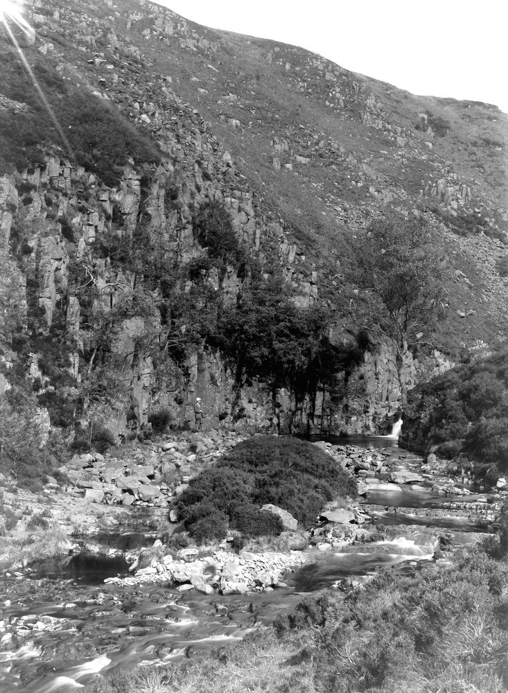
| Caption: | Black Burn, about 1 1/4 m. SSW of Midgeholme. Looking SE. |
| Description: | Black Burn, about 1 1/4 m. SSW of Midgeholme. Looking SE. Whin Sill, stream section. About 100 ft.of the sill is seen in this section, although the upper part of the section is partially obscured by scree. The total thickness in this neighbourhood, is 140 ft. Columnar structure is well shown in the crag on the left. |
| Date taken: | Wed Jun 01 00:00:00 BST 1927 |
| Photographer: | Rhodes, J. |
| Copyright statement: | Crown |
| X longitude/easting: | 362465 |
| Y latitude/northing: | 557699 |
| Coordinate reference system, ESPG code: | 27700 (OSGB 1936 / British National Grid) |
| Orientation: | Portrait |
| Size: | 339.61 KB; 733 x 1000 pixels; 62 x 85 mm (print at 300 DPI); 194 x 265 mm (screen at 96 DPI); |
| Average Rating: | Not yet rated |
| Categories: | Unsorted Images, Geoscience subjects/ Landforms, river/ General |
Loading...
Loading...
Reviews
There is currently no feedback