| P number: | P204014 |
|---|---|
| Old photograph number: | A04066 |
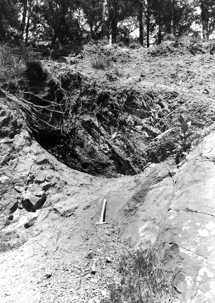
| Caption: | N. bank of River Gelt, 600 yd. above High Gelt Bridge, 1/2 m. N.of Castle Carrock. Looking NE. |
| Description: | N. bank of River Gelt, 600 yd. above High Gelt Bridge, 1/2 m. N.of Castle Carrock. Looking NE. Beds of Carboniferous Limestone showing high dips. These high dips occur in folded beds of the Middle and Lower Limestone Groups to the north of the Mill Beck Fault. The smooth waterworn contours of the limestone and its enlarged solution joints are well shown. |
| Date taken: | Wed Jun 01 00:00:00 BST 1927 |
| Photographer: | Rhodes, J. |
| Copyright statement: | Crown |
| X longitude/easting: | 354669 |
| Y latitude/northing: | 556225 |
| Coordinate reference system, ESPG code: | 27700 (OSGB 1936 / British National Grid) |
| Orientation: | Portrait |
| Size: | 398.39 KB; 709 x 1000 pixels; 60 x 85 mm (print at 300 DPI); 188 x 265 mm (screen at 96 DPI); |
| Average Rating: | Not yet rated |
| Categories: | Unsorted Images, Geoscience subjects/ Structural features/ Dip and strike |
Loading...
Loading...
Reviews
There is currently no feedback