| P number: | P203978 |
|---|---|
| Old photograph number: | A04030 |
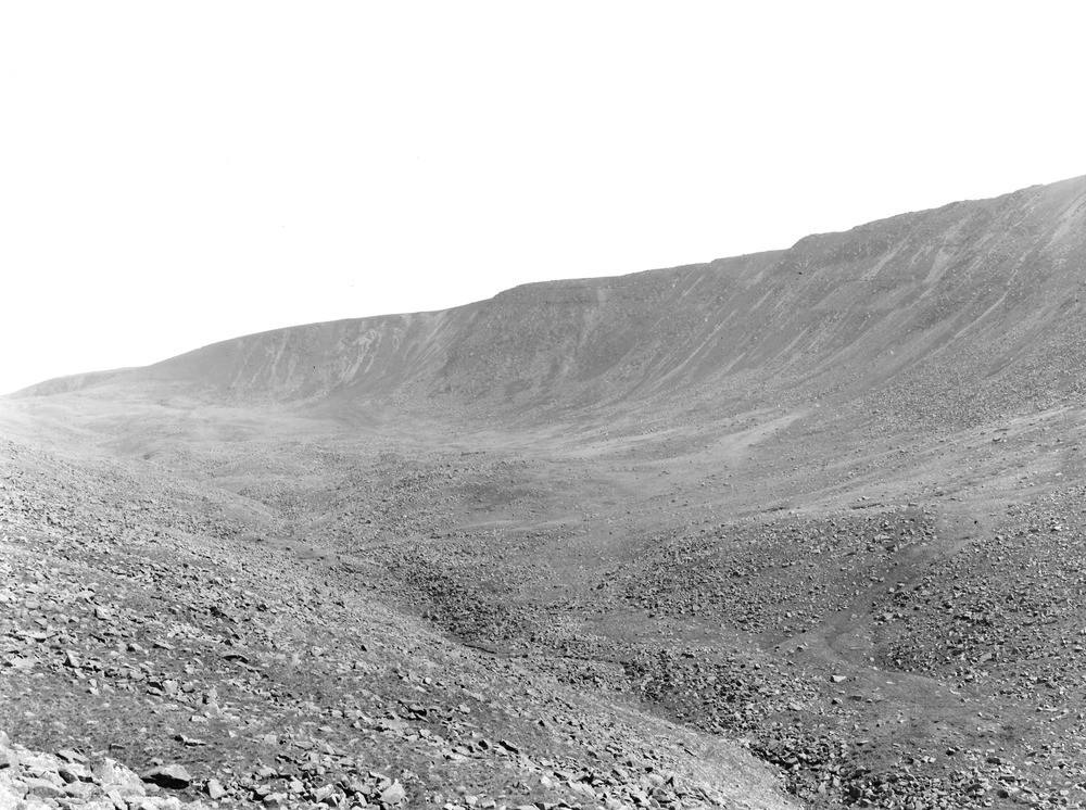
| Caption: | N. slope of Caw Fell, 7 m. E. of Egremont. Looking SE. |
| Description: | N. slope of Caw Fell, 7 m. E. of Egremont. Looking SE. Caw Fell corrie and hummocky moraine on its floor. The well developed jointing of the Ennerdale Granophyre has facilitated the development of the corrie wall and of the extensive hummocky moraine of granophyre boulders. (See also A4031.) |
| Date taken: | Sun May 01 00:00:00 BST 1927 |
| Photographer: | Rhodes, J. |
| Copyright statement: | Crown |
| X longitude/easting: | 311483 |
| Y latitude/northing: | 511423 |
| Coordinate reference system, ESPG code: | 27700 (OSGB 1936 / British National Grid) |
| Orientation: | Landscape |
| Size: | 242.81 KB; 1000 x 746 pixels; 85 x 63 mm (print at 300 DPI); 265 x 197 mm (screen at 96 DPI); |
| Average Rating: | Not yet rated |
| Categories: | Unsorted Images, Geoscience subjects/ Landforms, glaciation/ Moraines, Geoscience subjects/ Landforms, glaciation/ Corries, cirques or cwms |
Loading...
Loading...
Reviews
There is currently no feedback