| P number: | P203977 |
|---|---|
| Old photograph number: | A04029 |
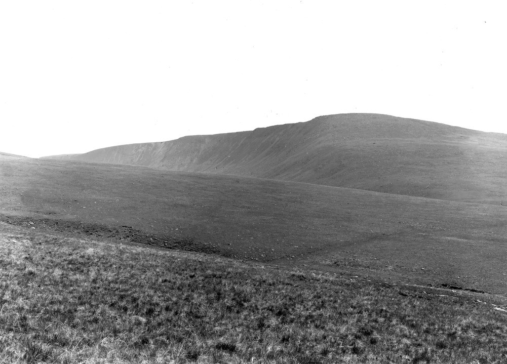
| Caption: | NW of Caw Fell, 7 m. E. of Egremont. Looking SE. |
| Description: | NW of Caw Fell, 7 m. E. of Egremont. Looking SE. General view of Caw Fell corrie in the Ennerdale Granophyre. The north facing corrie at the head of Bleaberry Gill; the corrie wall forms the north face of Caw Fell. |
| Date taken: | Sun May 01 00:00:00 BST 1927 |
| Photographer: | Rhodes, J. |
| Copyright statement: | Crown |
| X longitude/easting: | 310952 |
| Y latitude/northing: | 511897 |
| Coordinate reference system, ESPG code: | 27700 (OSGB 1936 / British National Grid) |
| Orientation: | Landscape |
| Size: | 198.67 KB; 1001 x 719 pixels; 85 x 61 mm (print at 300 DPI); 265 x 190 mm (screen at 96 DPI); |
| Average Rating: | Not yet rated |
| Categories: | Unsorted Images, Geoscience subjects/ Landforms, glaciation/ Corries, cirques or cwms |
Loading...
Loading...
Reviews
There is currently no feedback