| P number: | P203906 |
|---|---|
| Old photograph number: | A03958 |
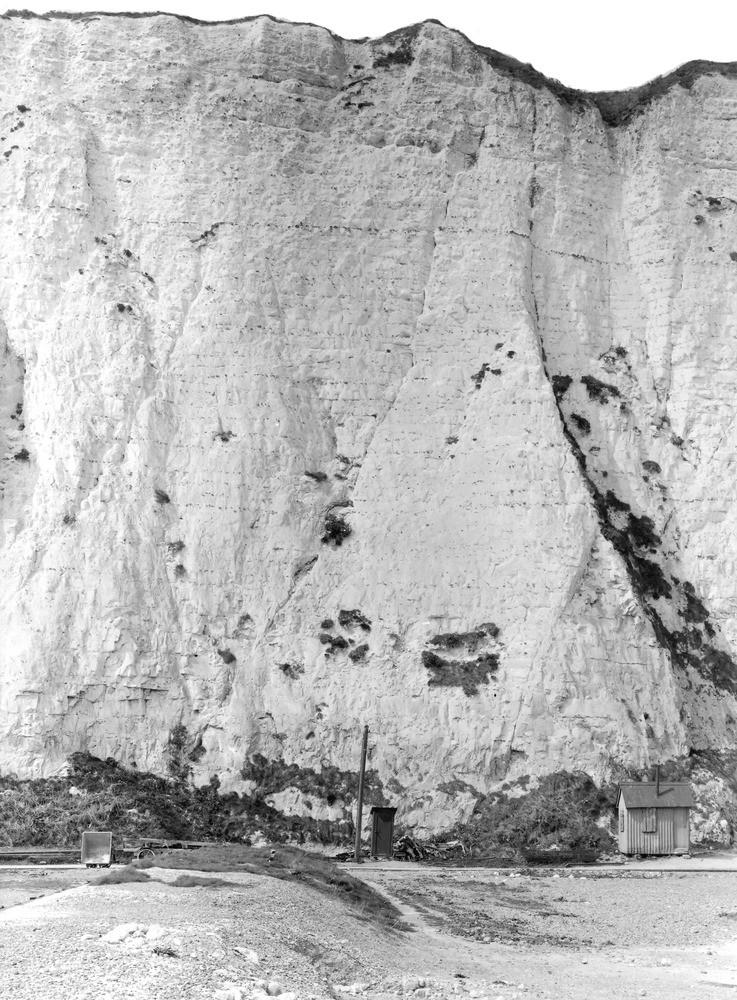
| Caption: | Kingsdown, S. of Walmer (at Rifle Range). Looking NNE. |
| Description: | Kingsdown, S. of Walmer (at Rifle Range). Looking NNE. Upper Chalk cliff. Chalk of upper part of Micraster coranguinum Zone. The conspicuous course of flints about one-fourth of way down cliff is 'Whitaker's 3-inch band'. |
| Date taken: | Fri Apr 01 00:00:00 GMT 1927 |
| Photographer: | Rhodes, J. |
| Copyright statement: | Crown |
| X longitude/easting: | 638500 |
| Y latitude/northing: | 147500 |
| Coordinate reference system, ESPG code: | 27700 (OSGB 1936 / British National Grid) |
| Orientation: | Portrait |
| Size: | 305.27 KB; 737 x 1000 pixels; 62 x 85 mm (print at 300 DPI); 195 x 265 mm (screen at 96 DPI); |
| Average Rating: | Not yet rated |
| Categories: | Unsorted Images, Geoscience subjects/ Economic geology/ Cement and lime, limestone quarries and chalk pits |
Loading...
Loading...
Reviews
There is currently no feedback