| P number: | P005773 |
|---|---|
| Old photograph number: | L02888 |
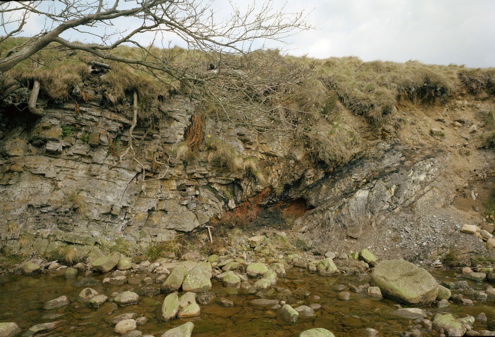
| Caption: | Crossdale Brook, House of Crossdale. |
| Description: | Crossdale Brook, House of Crossdale. Structure. Zone of low-angle reverse faults cutting mudstones and calcareous mudstones of the Upper Boland Shales. |
| Date taken: | Tue Apr 01 00:00:00 BST 1980 |
| Photographer: | Thornton, K.E. |
| Copyright statement: | NERC |
| Acknowledgment: | This image was digitized with grant-in-aid from JIDI the JISC Image Digitization Initiative |
| X longitude/easting: | 369700 |
| Y latitude/northing: | 455490 |
| Coordinate reference system, ESPG code: | 27700 (OSGB 1936 / British National Grid) |
| Orientation: | Landscape |
| Size: | 300.13 KB; 1000 x 680 pixels; 85 x 58 mm (print at 300 DPI); 265 x 180 mm (screen at 96 DPI); |
| Average Rating: | Not yet rated |
| Categories: | Unsorted Images, Geoscience subjects/ Structural features/ Fault breccia |
Loading...
Loading...
Reviews
There is currently no feedback