| P number: | P907896 |
|---|---|
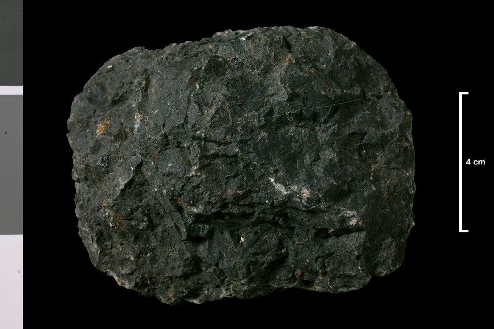
| Caption: | Browncastle Burn, 840 yards east 25 degrees south of Laigh Alderstocks, which is 5.62 miles west 2 degrees south of Strathaven Church. |
| Date taken: | Wed Jan 01 00:00:00 GMT 2014 |
| Copyright statement: | UKRI |
| X longitude/easting: | 261900 |
| Y latitude/northing: | 643840 |
| Coordinate reference system, ESPG code: | 27700 (OSGB 1936 / British National Grid) |
| Orientation: | Landscape |
| Size: | 150.80 KB; 999 x 666 pixels; 85 x 56 mm (print at 300 DPI); 264 x 176 mm (screen at 96 DPI); |
| Average Rating: | Not yet rated |
| Categories: | Geoscience subjects/ Rocks/ Scotland/ County/ Lanarkshire, Geoscience subjects/ Rocks/ Scotland/ Geological one-inch sheet/ Sheet 23 Hamilton |
| Collection ID number: | Collection No: SSC 4295 |
Loading...
Loading...
Reviews
There is currently no feedback