| P number: | P907180 |
|---|---|
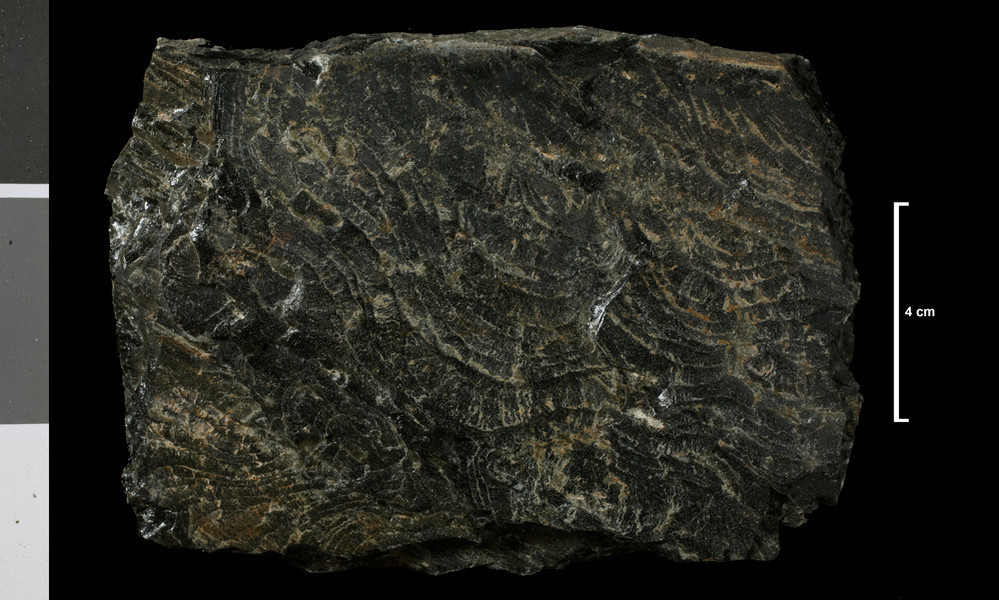
| Caption: | Pitchstone. 20 ft sill. More northerly of 2 sills midway between Dun Dubh and Dunn Fionn; lower scarp near South Corrygills, 0.25 mile ESE of Dun Dubh. |
| Date taken: | Wed Jan 01 00:00:00 GMT 2014 |
| Copyright statement: | UKRI |
| X longitude/easting: | 204300 |
| Y latitude/northing: | 633970 |
| Coordinate reference system, ESPG code: | 27700 (OSGB 1936 / British National Grid) |
| Orientation: | Landscape |
| Size: | 194.00 KB; 999 x 600 pixels; 85 x 51 mm (print at 300 DPI); 264 x 159 mm (screen at 96 DPI); |
| Average Rating: | Not yet rated |
| Categories: | Geoscience subjects/ Rocks/ Scotland/ Geological one-inch sheet/ Sheet 21 Arran, Geoscience subjects/ Rocks/ Scotland/ County/ Buteshire |
| Collection ID number: | Collection No: SSC 3591 |
Loading...
Loading...
Reviews
There is currently no feedback