| P number: | P906520 |
|---|---|
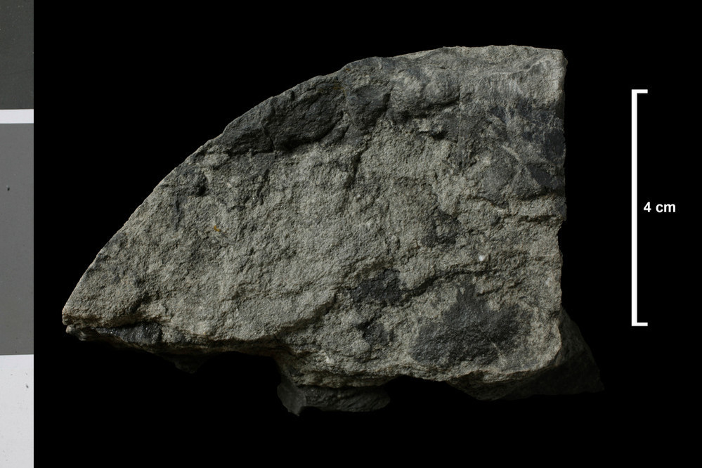
| Caption: | Cementstone Group. Hutton Castle Barns BH [NT85SE/1], 248 yards south 16 degrees east of Hutton Castle Barns and 20 yards north of bank of Cabby Burn; depth 70 - 75 fm. |
| Date taken: | Wed Jan 01 00:00:00 GMT 2014 |
| Copyright statement: | UKRI |
| X longitude/easting: | 389130 |
| Y latitude/northing: | 654110 |
| Coordinate reference system, ESPG code: | 27700 (OSGB 1936 / British National Grid) |
| Orientation: | Landscape |
| Size: | 140.79 KB; 999 x 666 pixels; 85 x 56 mm (print at 300 DPI); 264 x 176 mm (screen at 96 DPI); |
| Average Rating: | Not yet rated |
| Categories: | Geoscience subjects/ Rocks/ Scotland/ Geological one-inch sheet/ Sheet 34 Eyemouth, Geoscience subjects/ Rocks/ Scotland/ County/ Berwickshire |
| Collection ID number: | Collection No: SSC 7669 |
Loading...
Loading...
Reviews
There is currently no feedback