| P number: | P905602 |
|---|---|
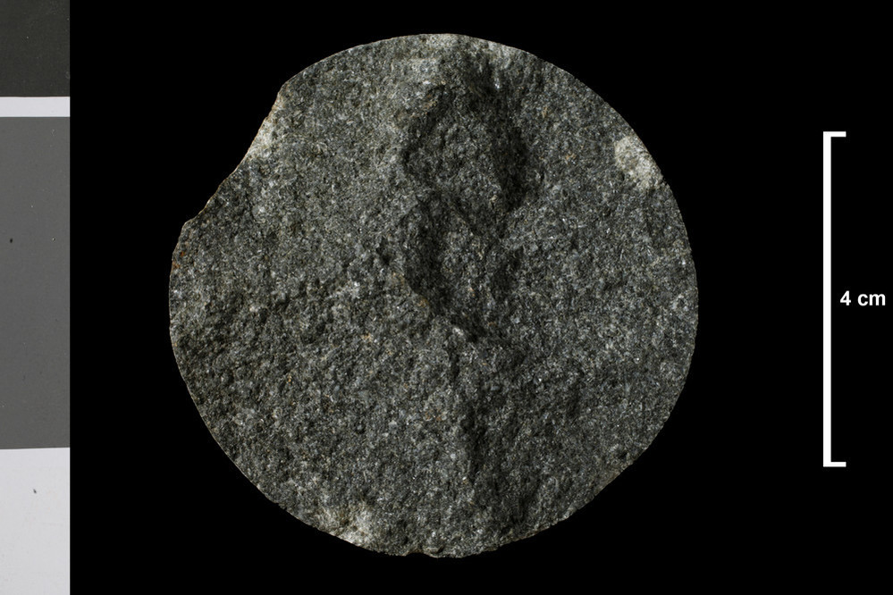
| Caption: | Allt Fionn Ghlinne, just below junction with Sput Ban, 1.5 miles SE of Beinn Dubh-chraige (loc. 137). |
| Date taken: | Wed Jan 01 00:00:00 GMT 2014 |
| Copyright statement: | UKRI |
| X longitude/easting: | 231700 |
| Y latitude/northing: | 722800 |
| Coordinate reference system, ESPG code: | 27700 (OSGB 1936 / British National Grid) |
| Orientation: | Landscape |
| Size: | 156.77 KB; 999 x 666 pixels; 85 x 56 mm (print at 300 DPI); 264 x 176 mm (screen at 96 DPI); |
| Average Rating: | Not yet rated |
| Categories: | Geoscience subjects/ Rocks/ Scotland/ County/ Perthshire, Geoscience subjects/ Rocks/ Scotland/ Geological one-inch sheet/ Sheet 46 Balquidder |
| Collection ID number: | Collection No: SSC 6734 |
Loading...
Loading...
Reviews
There is currently no feedback