| P number: | P904845 |
|---|---|
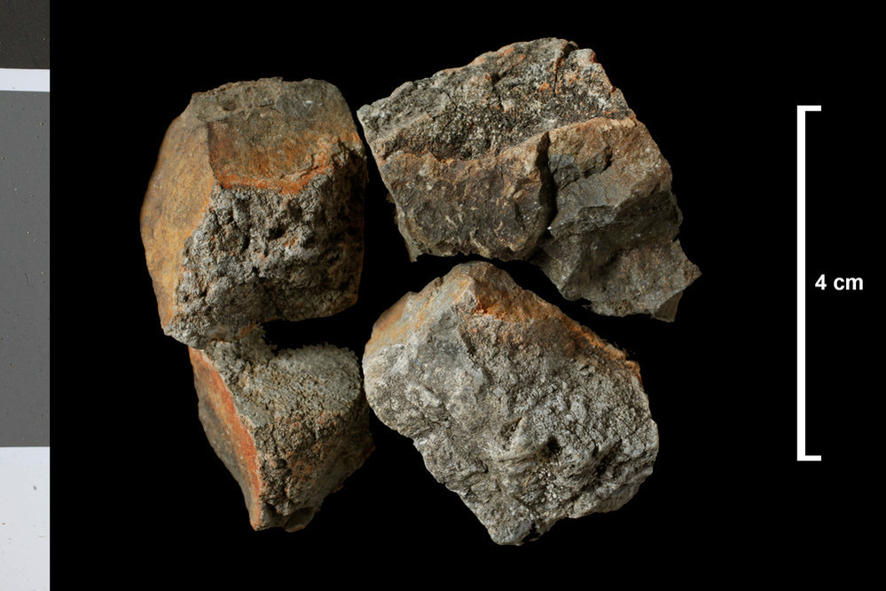
| Caption: | Tholeiite. Basal portion of sill. 0.43 mile north-east of summit of Mullach Glac an-Sneachda, and nearly 2 miles SSW of Pennyghael. |
| Date taken: | Wed Jan 01 00:00:00 GMT 2014 |
| Copyright statement: | UKRI |
| X longitude/easting: | 150520 |
| Y latitude/northing: | 723490 |
| Coordinate reference system, ESPG code: | 27700 (OSGB 1936 / British National Grid) |
| Orientation: | Landscape |
| Size: | 152.41 KB; 999 x 666 pixels; 85 x 56 mm (print at 300 DPI); 264 x 176 mm (screen at 96 DPI); |
| Average Rating: | Not yet rated |
| Categories: | Geoscience subjects/ Rocks/ Scotland/ County/ Argyllshire, Geoscience subjects/ Rocks/ Scotland/ Geological one-inch sheet/ Sheet 44 Mull |
| Collection ID number: | Collection No: SSC 8865 |
Loading...
Loading...
Reviews
There is currently no feedback