| P number: | P005537 |
|---|---|
| Old photograph number: | L02111 |
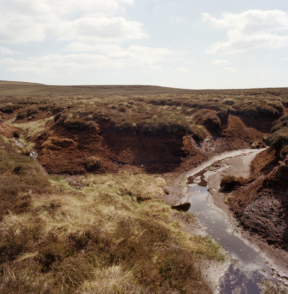
| Caption: | Lead Up Gill, Coverdale (headwaters). |
| Description: | Lead Up Gill, Coverdale (headwaters). Eroding blanket peat 2 metres in thickness. The feature, centre skyline, is in an usually coarse facies of the Agill Sandstone. |
| Date taken: | Mon May 01 00:00:00 BST 1978 |
| Photographer: | Thornton, K.E. |
| Copyright statement: | NERC |
| Acknowledgment: | This image was digitized with grant-in-aid from JIDI the JISC Image Digitization Initiative |
| X longitude/easting: | 407000 |
| Y latitude/northing: | 479800 |
| Coordinate reference system, ESPG code: | 27700 (OSGB 1936 / British National Grid) |
| Orientation: | Portrait |
| Size: | 348.44 KB; 981 x 1000 pixels; 83 x 85 mm (print at 300 DPI); 260 x 265 mm (screen at 96 DPI); |
| Average Rating: | Not yet rated |
| Categories: | Unsorted Images, Geoscience subjects/ Economic geology/ Peat |
Loading...
Loading...
Reviews
There is currently no feedback