| P number: | P002906 |
|---|---|
| Old photograph number: | D05276 |
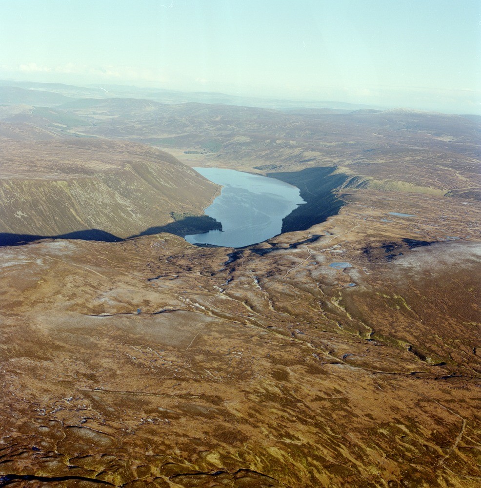
| Caption: | Oblique aerial view of Loch Muick from south-west, Aberdeenshire. Flooded arcuate glacial trough and plateaux. North-east aligned view from above Juangorge on the watershed between Glen Clova and Glen Muick. |
| Description: | Oblique aerial view of Loch Muick from south-west, Aberdeenshire. Flooded arcuate glacial trough and plateaux. North-east aligned view from above Juangorge on the watershed between Glen Clova and Glen Muick. Upper Glen Muick is a deeply incised glacially overdeepened valley whose arcuate trace in part mimics internal contacts within the Lochnagar Granite. The classic parabolic shape and full depth extent of the valley are obscured by the waters of Loch Muick which are up to 70 m. deep. The surface of the loch is at an altitude of 400 m. Two plateau levels are present, 630 m. in the foreground and 700 m. on the far side of the valley. The valley floor beyond the loch is blanketed by moriane overlain by peat. There is also an extensive carpet of peat on the plateau in the foreground. The wooded area on the loch shore contains an alluvial fan at the base of the Glas Allt. |
| Photographer: | Unknown |
| Copyright statement: | NERC |
| Acknowledgment: | This image was digitized with grant-in-aid from SCRAN the Scottish Cultural Resources Access Network |
| X longitude/easting: | 326000 |
| Y latitude/northing: | 781000 |
| Coordinate reference system, ESPG code: | 27700 (OSGB 1936 / British National Grid) |
| Orientation: | Portrait |
| Size: | 327.26 KB; 986 x 1001 pixels; 83 x 85 mm (print at 300 DPI); 261 x 265 mm (screen at 96 DPI); |
| Average Rating: | Not yet rated |
| Categories: | Unsorted Images |
Loading...
Loading...
Reviews
There is currently no feedback