| P number: | P002699 |
|---|---|
| Old photograph number: | D01171 |
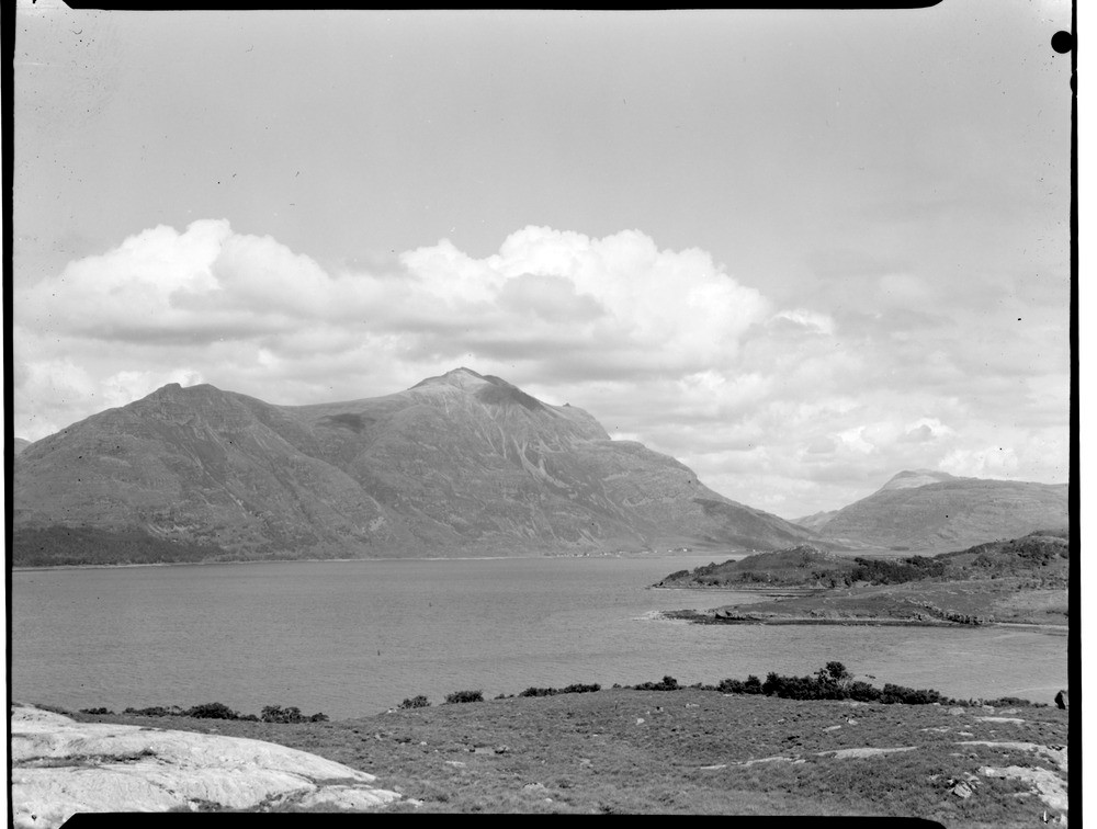
| Caption: | General view of upper Loch Torridon looking north-east from roadside 0.4 km. north-west of Balgy, Ross & Cromarty. |
| Description: | In the 200 Ma interval between the deposition of the Torridonian rocks and the Cambrian there was a period of crustal warping during which the Precambrian rocks of the Caledonian foreland were arched into several large folds. Considerable erosion followed so by the beginning of the Cambrian a remarkably flat surface had been produced. Onto this surface the Cambrian sediments, beginning with these quartzites were deposited as it progressively and gently subsided to form the floor of a shelf sea. Subsequent uplift and erosion has caused these outliers to form. White Cambrian quartzite screes occur on the summit of Mullach an Rathain, Liathach are distributed round a tiny outlier capping Torridonian sandstone. |
| Date taken: | Mon Jan 01 00:00:00 GMT 1968 |
| Photographer: | Christie, A. |
| Copyright statement: | NERC |
| Acknowledgment: | This image was digitized with grant-in-aid from SCRAN the Scottish Cultural Resources Access Network |
| X longitude/easting: | 184300 |
| Y latitude/northing: | 854700 |
| Coordinate reference system, ESPG code: | 27700 (OSGB 1936 / British National Grid) |
| Orientation: | Landscape |
| Size: | 146.76 KB; 1000 x 756 pixels; 85 x 64 mm (print at 300 DPI); 265 x 200 mm (screen at 96 DPI); |
| Average Rating: | Not yet rated |
| Categories: | Unsorted Images, Geoscience subjects/ Landforms, lakes |
Loading...
Loading...
Reviews
There is currently no feedback