| P number: | P002572 |
|---|---|
| Old photograph number: | C04164 |
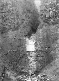
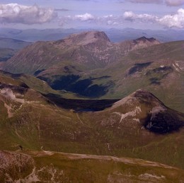
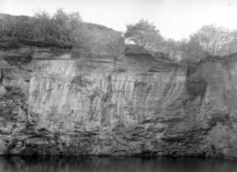
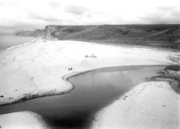
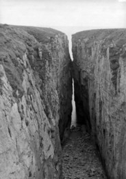
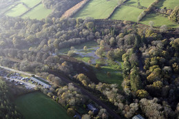
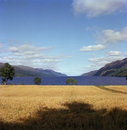
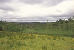
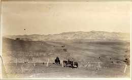
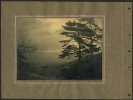
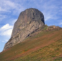
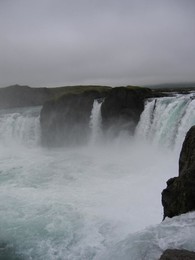
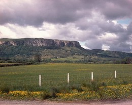
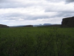
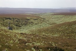
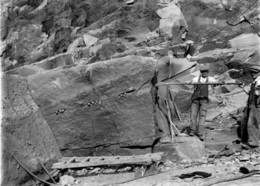
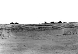
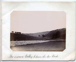
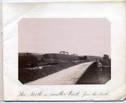
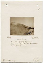
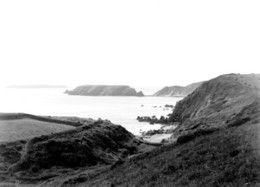
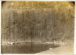
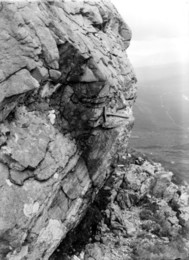
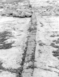
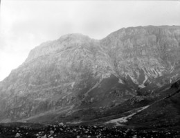
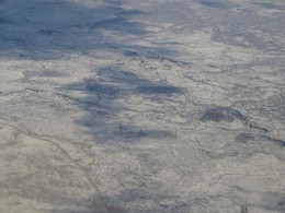
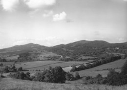
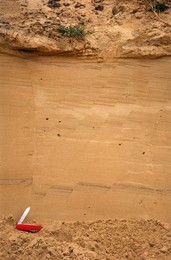
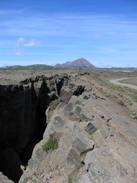
| Caption: | View looking east along Dark Mile showing V-shaped gorge; alluvial flat of Amhainn Chia-aig in right foreground, taken from 1152 m. north 16 degrees west of Achnacarry Post Office, Inverness-shire. |
| Description: | View looking east along Dark Mile showing V-shaped gorge; alluvial flat of Amhainn Chia-aig in right foreground, taken from 1152 m. north 16 degrees west of Achnacarry Post Office, Inverness-shire. The Dark Mile is a glacial meltwater channel that carried water spilling from the ice in the Loch Arkaig depression, this east-west V-shaped valley cut some 350 ft. deep connects the Loch Arkaig depression with the Great Glen. It is cut in striped and banded psammite and pelite of the Loch Eil Division of the Precambrian Moine series. |
| Date taken: | Fri Jan 01 00:00:00 GMT 1954 |
| Photographer: | Fisher, W.D. |
| Copyright statement: | Crown |
| Acknowledgment: | This image was digitized with grant-in-aid from SCRAN the Scottish Cultural Resources Access Network |
| Orientation: | Landscape |
| Size: | 158.94 KB; 1000 x 756 pixels; 85 x 64 mm (print at 300 DPI); 265 x 200 mm (screen at 96 DPI); |
| Average Rating: | Not yet rated |
| Categories: | Unsorted Images |
Loading...
Loading...
Reviews
There is currently no feedback