| P number: | P002570 |
|---|---|
| Old photograph number: | C04157 |
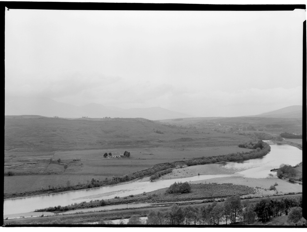
| Caption: | Hillside, 640 m. N. 21 degrees W. of Kilmonivaig, Inverness-shire. |
| Description: | The fault-controlled valley contains the meandering river system with prominent gravel bars. The scarp, marking the south-east limit of intense crushing in the Great Glen crush zone, runs across the picture in the middle distance. Caledonian Canal and River Lochy in foreground. Panoramic view, looking east, of alluvial flats at south end of Loch Lochy (left-hand side) and of terraces of River Lochy (centre and right-hand side). Part of a panorama with C04156 and C04158. (The description is for the full panorama.) |
| Date taken: | Fri Jan 01 00:00:00 GMT 1954 |
| Photographer: | Fisher, W.D. |
| Copyright statement: | Crown |
| Acknowledgment: | This image was digitized with grant-in-aid from SCRAN the Scottish Cultural Resources Access Network |
| X longitude/easting: | 217500 |
| Y latitude/northing: | 783500 |
| Coordinate reference system, ESPG code: | 27700 (OSGB 1936 / British National Grid) |
| Orientation: | Landscape |
| Size: | 114.21 KB; 1000 x 756 pixels; 85 x 64 mm (print at 300 DPI); 265 x 200 mm (screen at 96 DPI); |
| Average Rating: | Not yet rated |
| Categories: | Unsorted Images, Geoscience subjects/ Landforms, river/ Flood-plains and alluvial flats |
Loading...
Loading...
Reviews
There is currently no feedback