| P number: | P002436 |
|---|---|
| Old photograph number: | C03027 |
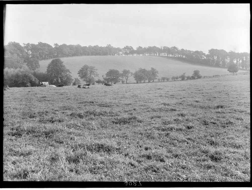
| Caption: | Coxet Hill, St. Ninian's, 1.6 km. south of Stirling, looking east, Stirlingshire. A portion of large drumlin of sandy boulder clay elongated south-east. |
| Description: | Coxet Hill, St. Ninian's, 1.6 km. south of Stirling, looking east, Stirlingshire. A portion of large drumlin of sandy boulder clay elongated south-east. The hollow in front of the hill falls to the left, towards the '100 ft.' raised beach terrace which fringes the far side of the hill and is there about 30 m. lower than its summit. |
| Date taken: | Fri Jan 01 00:00:00 GMT 1926 |
| Photographer: | Manson, W. |
| Copyright statement: | Crown |
| Acknowledgment: | This image was digitized with grant-in-aid from SCRAN the Scottish Cultural Resources Access Network |
| X longitude/easting: | 278500 |
| Y latitude/northing: | 691500 |
| Coordinate reference system, ESPG code: | 27700 (OSGB 1936 / British National Grid) |
| Orientation: | Landscape |
| Size: | 243.67 KB; 1000 x 756 pixels; 85 x 64 mm (print at 300 DPI); 265 x 200 mm (screen at 96 DPI); |
| Average Rating: | Not yet rated |
| Categories: | Unsorted Images, Geoscience subjects/ Landforms, glaciation/ Drumlins |
Loading...
Loading...
Reviews
There is currently no feedback