| P number: | P002322 |
|---|---|
| Old photograph number: | C02373 |
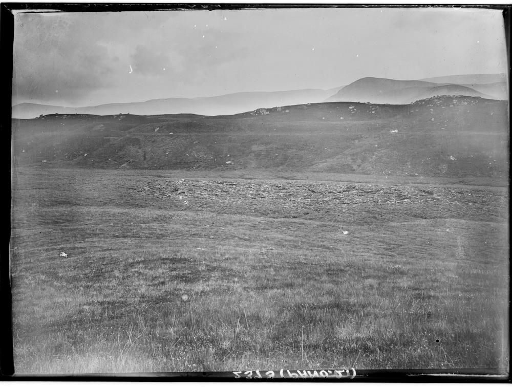
| Caption: | 7.2 km. east-north-east of Dalriach Shooting Lodge (Brae Roy Lodge), Glen Roy, Inverness-shire. |
| Description: | The highest road is clearly seen on hillside in the centre and the left. The Glen Roy lake at its maximum was 16 km. long and 200 m. deep and its level was controlled by the 350 m. col leading into Strathspey at the head of the glen. This provided an overflow route. As the ice retreated, lakes formed at successively lower levels. The Parallel Roads of Glen Roy at the most north-easterly limit of the Glen Roy lake looking up towards the Col. Part of a panorama with C02372 and C02374. The description is for the full panorama. |
| Date taken: | Wed Jan 01 00:00:00 GMT 1913 |
| Photographer: | Lunn, R. |
| Copyright statement: | Crown |
| Acknowledgment: | This image was digitized with grant-in-aid from SCRAN the Scottish Cultural Resources Access Network |
| X longitude/easting: | 240500 |
| Y latitude/northing: | 794500 |
| Coordinate reference system, ESPG code: | 27700 (OSGB 1936 / British National Grid) |
| Orientation: | Landscape |
| Size: | 222.59 KB; 1000 x 756 pixels; 85 x 64 mm (print at 300 DPI); 265 x 200 mm (screen at 96 DPI); |
| Average Rating: | Not yet rated |
| Categories: | Unsorted Images, Geoscience subjects/ Landforms, glaciation/ Glacial lakes and rock basins |
Loading...
Loading...
Reviews
There is currently no feedback