| P number: | P002303 |
|---|---|
| Old photograph number: | C02348 |
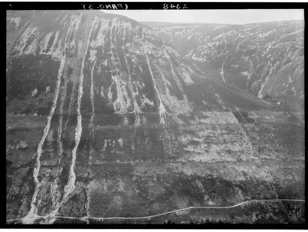
| Caption: | Looking westwards across the River Roy towards Leana Mhor (left) and Beinn Iaruinn (centre), Glen Roy, Inverness-shire. The Parallel Roads of Glen Roy. Part of a panorama with C02346, C02347, C02349. (Description is for the full panorama.) |
| Description: | Looking westwards across the River Roy towards Leana Mhor (left) and Beinn Iaruinn (centre), Glen Roy, Inverness-shire. The Parallel Roads of Glen Roy. Part of a panorama with C02346, C02347, C02349. (Description is for the full panorama.) The three successive lake terraces ('roads') at levels of 260, 325 and 350 m. O.D. respectively. The extent of view is about 4.8 km. The shorelines have commonly been formed by erosion at the back and gravel deposition at the front. At some localities the roads are cut in rock, a factor explained by the combined action of frost and wave action at lake level. This was greatly assisted by prior breakage due to slope deformation and by frost action earlier in the Loch Lomond Stadial. |
| Date taken: | Wed Jan 01 00:00:00 GMT 1913 |
| Photographer: | Lunn, R. |
| Copyright statement: | Crown |
| Acknowledgment: | This image was digitized with grant-in-aid from SCRAN the Scottish Cultural Resources Access Network |
| X longitude/easting: | 231500 |
| Y latitude/northing: | 787500 |
| Coordinate reference system, ESPG code: | 27700 (OSGB 1936 / British National Grid) |
| Orientation: | Landscape |
| Size: | 238.61 KB; 1000 x 756 pixels; 85 x 64 mm (print at 300 DPI); 265 x 200 mm (screen at 96 DPI); |
| Average Rating: | Not yet rated |
| Categories: | Unsorted Images, Geoscience subjects/ Landforms, glaciation/ Glacial lakes and rock basins |
Loading...
Loading...
Reviews
There is currently no feedback